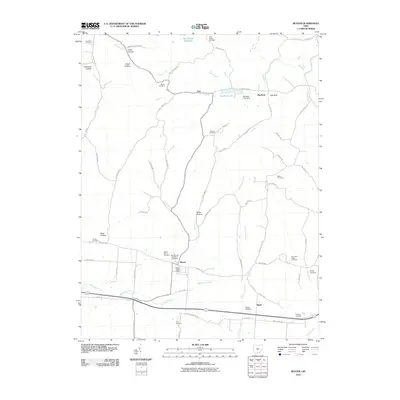
2010 Map of Beaver
USGS Topo · Published 2010About this map
The village of Beaver serves as the central hub of this Pike County survey, centered around the Beaver Post Office and nearby historic grounds like Beaver Union Cemetery and the Old German Number 2 Cemetery. The landscape is defined by the drainage of Big Beaver Creek and the Little Scioto River, with numerous family and community burial sites such as Mountain Ridge Cemetery and Wesley Cemetery scattered across the higher ground. To the south, the presence of the Glade Stolport and Howells Crossing indicates local transit and aviation infrastructure, while to the north, the terrain transitions into a more deeply carved topography including Estell Hollow and Sugar Hollow. This era shows a well-established road network including Beaver Pike and Bethel Ridge Rd, connecting small settlements like Linn, Glade, and the distinctively named Big Rock community.
Find a feature on this map
70 named features on this map. Tap any name to fly to it.
Don’t see what you’re looking for? This feature index may not catch every label — zoom into the map to look around manually.
Map Details
Editions of this 2010 Beaver Map
This is the sole edition of this map. No revisions or reprints were ever made.
Other maps of this area

1906 · Waverly
USGS Topo · 1:62,500

1908 · Waverly
USGS Topo · 1:62,500

1911 · Sciotoville
USGS Topo · 1:62,500

1912 · Oak Hill
USGS Topo · 1:62,500

1913 · Sciotoville
USGS Topo · 1:62,500

1913 · Jackson
USGS Topo · 1:62,500

1944 · Jackson
USGS Topo · 1:62,500

1947 · Columbus
USGS Topo · 1:250,000

1957 · Huntington
USGS Topo · 1:250,000

1960 · Huntington
USGS Topo · 1:250,000