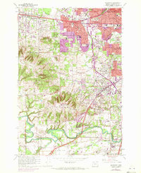
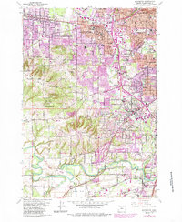
1961 Map of Beaverton
USGS Topo · Published 1972About this map
The growing suburban landscape of Washington County is documented here during a period of significant expansion, as shown by the 1970 photorevisions overlaying the 1961 base map. Beaverton and Tigard emerge as major hubs, connected by the Southern Pacific and Oregon Electric Pacific rail lines. The map reveals the transition of agricultural land into residential communities like Raleigh Hills and Cedar Hills, while still preserving large social landmarks such as the Portland Golf Club and the Portland Hunt Club. Further south, the meandering Tualatin River flows through a landscape defined by industrial and community features, from the Cipole Grave Pit and various quarries to local institutions like St Marys Boys Home. Prominent natural landmarks like Bull Mountain and Sexton Mtn provide a vertical contrast to the developing flats and river valleys, offering researchers a clear view of the area's mid-century topography and infrastructure.
Find a feature on this map
69 named features on this map. Tap any name to fly to it.
Don’t see what you’re looking for? This feature index may not catch every label — zoom into the map to look around manually.
Map Details
Editions of this 1961 Beaverton Map
5 editions found
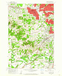
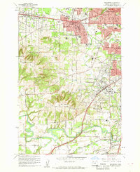
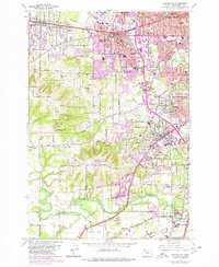
Other maps of this area

1897 · Portland
USGS Topo · 1:62,500

1905 · Portland
USGS Topo · 1:62,500

1914 · Oregon City
USGS Topo · 1:62,500

1915 · Hillsboro
USGS Topo · 1:62,500

1916 · Tualatin
USGS Topo · 1:62,500

1918 · Hillsboro
USGS Topo · 1:62,500

1939 · Oregon City
USGS Topo · 1:62,500

1939 · Tualatin
USGS Topo · 1:62,500

1940 · Tualatin
USGS Topo · 1:62,500

1940 · Hillsboro
USGS Topo · 1:62,500