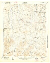
1947 Map of Bedford
USGS Topo · Published 1948About this map
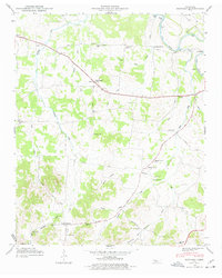
The Duck River winds through the northern portion of this landscape, crossed by the prominent Sims Bridge and the historical Temple Ford. The map illustrates a rural society organized around crossroads settlements and family-named infrastructure, where life centered on the local churches and schools. Numerous burial grounds, including the Richmond Cem, Moore Chapel Cem, and Gaunt Cem, are scattered across the terrain, often adjacent to small rural congregations like Richmond Ch and Big Spring Ch. The roadway network reflects this agricultural orientation, with routes like Richmond Pike and Ashland Pike connecting the dispersed communities of Bedford, Richmond, and Wheel. The intricate drainage patterns of Sinking Creek and Sugar Creek further define the land use, showing how topography influenced the placement of early homesteads and public buildings.
Find a feature on this map
51 named features on this map. Tap any name to fly to it.
Don’t see what you’re looking for? This feature index may not catch every label — zoom into the map to look around manually.
Map Details
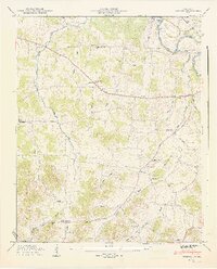
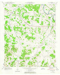
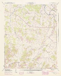
Editions of this 1947 Bedford Map
6 editions found
Other maps of this area

1936 · Booneville
USGS Topo · 1:24,000

1936 · Farmington
USGS Topo · 1:24,000

1936 · Shelbyville
USGS Topo · 1:24,000

1936 · Belfast
USGS Topo · 1:24,000

1936 · Deason
USGS Topo · 1:24,000

1936 · Belleville
USGS Topo · 1:24,000

1936 · Petersburg
USGS Topo · 1:24,000

1936 · Unionville
USGS Topo · 1:24,000

1936 · Bedford
USGS Topo · 1:24,000

1944 · Shelbyville
USGS Topo · 1:100,000