
1955 Map of Beechey Point A-3
USGS Topo · Published 1969About this map
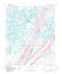
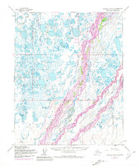
The braided waters of the Sagavanirktok River dominate this 1955 topographic survey of the Alaskan North Slope. The landscape is characterized by a complex network of multi-channel river systems and a dense concentration of thaw lakes across the coastal plain. In the southeastern portion of the sheet, the Sagavanirktok River (Main Channel) is clearly delineated from the surrounding maze of gravel bars and smaller distributaries, providing a snapshot of the Arctic hydraulic system before significant industrial development altered the region. To the northwest, the Putuligayuk River winds through the tundra, illustrating the intricate drainage patterns typical of this permafrost-rich environment. This survey, mapped by the Army Map Service and published by the Geological Survey, captures the raw geography of a region that would soon become central to the state's energy history.
Find a feature on this map
3 named features on this map. Tap any name to fly to it.
Don’t see what you’re looking for? This feature index may not catch every label — zoom into the map to look around manually.
Map Details
Editions of this 1955 Beechey Point A-3 Map
3 editions found
Other maps of this area

1951 · Beechey Point
USGS Topo · 1:250,000

1951 · Sagavanirktok D-5
USGS Topo · 1:250,000

1955 · Beechey Point
USGS Topo · 1:250,000

1955 · Beechey Point B-2
USGS Topo · 1:63,360

1955 · Beechey Point B-4
USGS Topo · 1:63,360

1955 · Beechey Point A-2
USGS Topo · 1:63,360

1955 · Beechey Point A-4
USGS Topo · 1:63,360

1955 · Beechey Point B-3
USGS Topo · 1:63,360

1955 · Sagavanirktok D-3
USGS Topo · 1:63,360
1955 · Sagavanirktok D-2
USGS Topo · 1:63,360