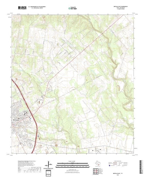
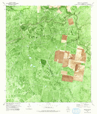
2022 Map of Beeville East
USGS Topo · Published 2022About this map
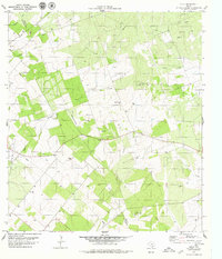
The city of Beeville serves as the focal point for this survey of south-central Texas, where the urban grid of the county seat transitions into a network of ranch roads and winding creek beds. The eastern outskirts are marked by a significant concentration of local history sites, including Evergreen Cem, Glenwood Cem, and Saint Joseph Cem, clustered near the established neighborhoods. The Bee County Courthouse stands at the heart of the settlement, anchoring the civic landscape just west of the sprawling Beeville Memorial Park.
Find a feature on this map
102 named features on this map. Tap any name to fly to it.
Don’t see what you’re looking for? This feature index may not catch every label — zoom into the map to look around manually.
Map Details
Editions of this 2022 Beeville East Map
This is the sole edition of this map. No revisions or reprints were ever made.
Historical Maps of Old Houston Highway Colonia Through Time
23 maps found
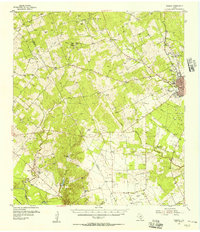
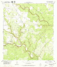
1954 Fleming
Bee County, TX
1963 Mineral
Bee County, TX
1963 Monteola
Bee County, TX
1978 Refugio SW
Bee County, TX
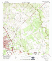
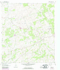
1979 Beeville East
Bee County, TX
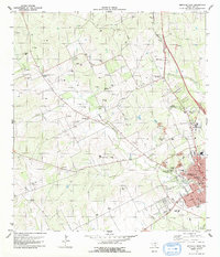
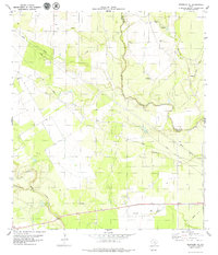
1979 Beeville West
Bee County, TX
1979 Bullshead Creek
Bee County, TX
1979 Burkes Ridge
Bee County, TX
1979 Cadiz
Bee County, TX
1979 Clareville
Bee County, TX
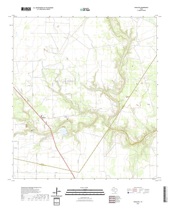
1979 Papalote
Bee County, TX
1979 Skidmore NE
Bee County, TX
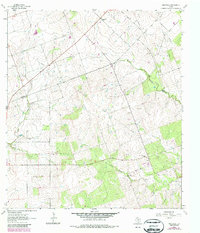
2022 Beeville East
Bee County, TX
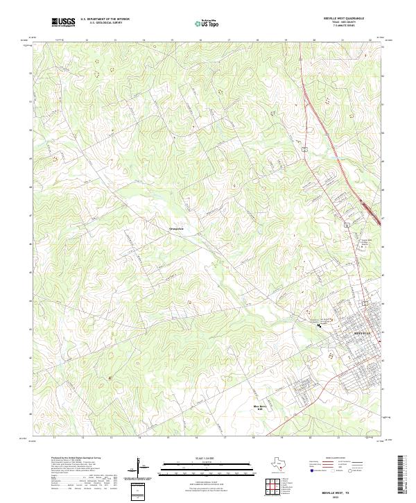
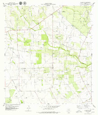
2022 Beeville West
Bee County, TX
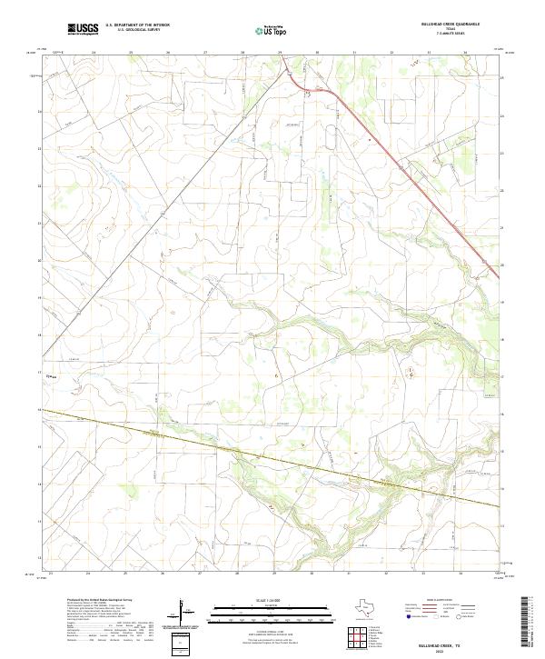
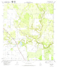
2022 Bullshead Creek
Bee County, TX
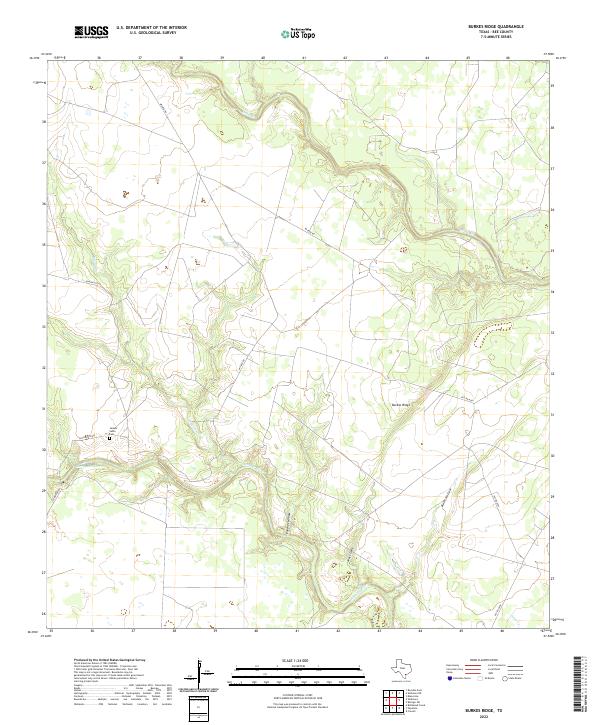
2022 Burkes Ridge
Bee County, TX
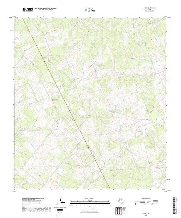
2022 Cadiz
Bee County, TX
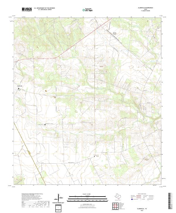
2022 Clareville
Bee County, TX
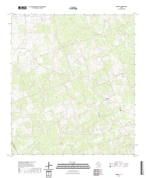
2022 Mineral
Bee County, TX
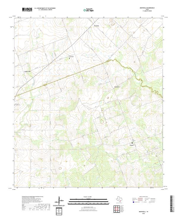
2022 Monteola
Bee County, TX
2022 Papalote
Bee County, TX
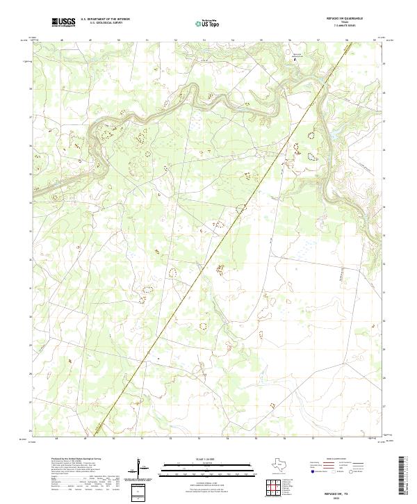
2022 Refugio SW
Bee County, TX
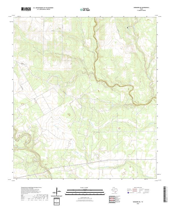
2022 Skidmore NE
Bee County, TX
Featured Locations
- Bee County, TX
- Hidden Acres Colonia, TX
- Old Houston Highway Colonia, TX
- 1st, 2nd, and 3rd Street Area Colonia, TX
- Beeville, TX