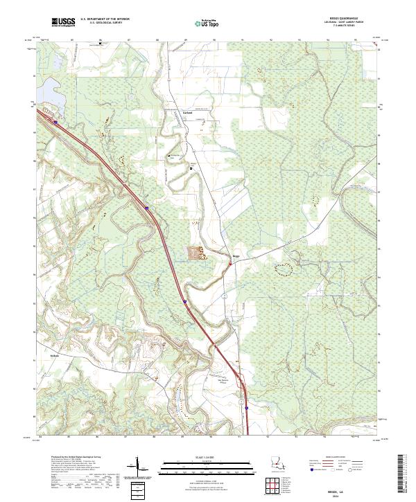
2024 Map of Beggs
USGS Topo · Published 2024About this map
Beggs and Garland occupy a landscape defined by the intricate winding waterways of St. Landry Parish. The drainage network is dense, featuring the serpentine courses of Bayou Cocodrie and Bayou Boeuf, which converge and diverge across the low-lying terrain. The human geography is marked by small settlements and family-named roads like Eugene Soileau Rd and Heard Sylvester Rd, reflecting a long history of local landholdings.
Find a feature on this map
61 named features on this map. Tap any name to fly to it.
Don’t see what you’re looking for? This feature index may not catch every label — zoom into the map to look around manually.
Map Details
Editions of this 2024 Beggs Map
This is the sole edition of this map. No revisions or reprints were ever made.
Other maps of this area

1939 · Opelousas
USGS Topo · 1:62,500

1948 · Bunkie
USGS Topo · 1:62,500

1952 · Lake Charles
USGS Topo · 1:250,000

1954 · Lake Charles
USGS Topo · 1:250,000

1954 · Baton Rouge
USGS Topo · 1:250,000

1955 · Odenburg
USGS Topo · 1:62,500

1956 · Opelousas
USGS Topo · 1:62,500

1956 · Baton Rouge
USGS Topo · 1:250,000

1957 · Opelousas
USGS Topo · 1:62,500

1959 · Palmetto
USGS Topo · 1:62,500