
1901 Map of Belair
USGS Topo · Published 1901About this map
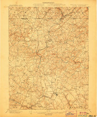
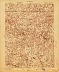
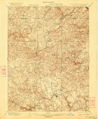
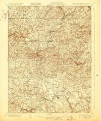
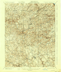
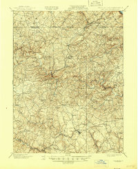
The Maryland and Pennsylvania RR winds through a landscape of shifting topography and early industry at the turn of the century. This survey documents the borderlands where Harford County meets Pennsylvania, highlighting the critical transportation corridors that connected rural agricultural centers with the wider region. In the northern reaches, the Baltimore and Lehigh RR services a cluster of settlements including Delta, Cardiff, and Whiteford, while the Philadelphia Turnpike provides an established overland route through Bel Air. The rugged nature of the terrain is evident near the McIntyre Minefield and the winding course of Deer Creek. Geologic and economic interests intersect at numerous small post offices and rail stops such as Constitution, Graceton, and Street, reflecting the era's reliance on localized rail networks to support the extraction of resources and the movement of goods across the state line.
Find a feature on this map
94 named features on this map. Tap any name to fly to it.
Don’t see what you’re looking for? This feature index may not catch every label — zoom into the map to look around manually.
Map Details
Editions of this 1901 Belair Map
7 editions found
Other maps of this area

1893 · Gunpowder
USGS Topo · 1:62,500

1894 · Baltimore
USGS Topo · 1:62,500

1898 · Tolchester
USGS Topo · 1:125,000

1899 · Baltimore
USGS Topo · 1:62,500

1900 · Havre De Grace
USGS Topo · 1:62,500

1900 · Betterton
USGS Topo · 1:62,500

1900 · Parkton
USGS Topo · 1:62,500

1901 · Gunpowder
USGS Topo · 1:62,500

1902 · Parkton
USGS Topo · 1:62,500

1903 · Tolchester
USGS Topo · 1:125,000