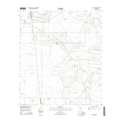
2015 Map of Belle d'Eau
USGS Topo · Published 2015About this map
Hessmer and the surrounding Avoyelles Parish lowlands are defined by the intricate relationship between agricultural settlement and the hydrologic network of central Louisiana. The area is bounded to the north by the Red River, while the center of the map is dominated by the Coulée du Pêcheur and Bayou Choctaw. Small rural communities like Belle d'Eau, Norma, and Oklahoma reflect the long-standing French-Acadian influence on the landscape, with family-named roads such as Guillot Lemoine Rd and John Dauzat Rd providing genealogical clues for local researchers. The transition from the alluvial floodplains to the slightly elevated region of Les Grandes Côtes illustrates how early settlers utilized topography to avoid the wetlands surrounding Lac aux Perles. Notable landmarks for historical study include the Kalone Cem and the Old Island Cem, which anchor the early families of this riverine district.
Find a feature on this map
79 named features on this map. Tap any name to fly to it.
Don’t see what you’re looking for? This feature index may not catch every label — zoom into the map to look around manually.
Map Details
Editions of this 2015 Belle d'Eau Map
This is the sole edition of this map. No revisions or reprints were ever made.
Other maps of this area

1935 · Turkey Creek
USGS Topo · 1:62,500

1935 · Lecompte
USGS Topo · 1:62,500

1940 · Marksville
USGS Topo · 1:62,500

1948 · Bunkie
USGS Topo · 1:62,500

1949 · Turkey Creek
USGS Topo · 1:62,500

1952 · Lake Charles
USGS Topo · 1:250,000

1953 · Alexandria
USGS Topo · 1:250,000

1954 · Lake Charles
USGS Topo · 1:250,000

1955 · Alexandria
USGS Topo · 1:250,000

1957 · Lecompte
USGS Topo · 1:62,500