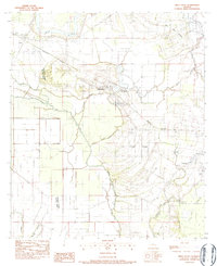
1983 Map of Belle D'eau
USGS Topo · Published 1983About this map
Red River bottomlands and the terrace edges of Les Grand Côtes define this portion of the Avoyelles Parish and Rapides Parish border. The landscape is a complex network of waterways, including Bayou Choctaw, Bayou du Lac, and Lac Aux Perles, which dictate the placement of local infrastructure and settlement. Small communities like Echo, Bijou, and Hessmer are situated along the higher ground and transport corridors, while the Kansas City Southern railroad cuts a straight path across the alluvial plain.
Find a feature on this map
23 named features on this map. Tap any name to fly to it.
Don’t see what you’re looking for? This feature index may not catch every label — zoom into the map to look around manually.
Map Details
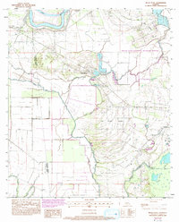
Editions of this 1983 Belle D'eau Map
2 editions found
Other maps of this area

1935 · Turkey Creek
USGS Topo · 1:62,500

1935 · Lecompte
USGS Topo · 1:62,500

1940 · Marksville
USGS Topo · 1:62,500

1948 · Bunkie
USGS Topo · 1:62,500

1949 · Turkey Creek
USGS Topo · 1:62,500

1952 · Lake Charles
USGS Topo · 1:250,000

1953 · Alexandria
USGS Topo · 1:250,000

1954 · Lake Charles
USGS Topo · 1:250,000

1955 · Alexandria
USGS Topo · 1:250,000

1957 · Lecompte
USGS Topo · 1:62,500