
1958 Map of Belle Meade
USGS Topo · Published 1959About this map
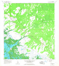
Henderson Creek meanders through a labyrinth of mangrove-dominated wetlands and tidal marshes before reaching Rookery Bay and Johnson Bay. This coastal landscape in Collier County represents the environment just before the onset of large-scale residential development in the region. The settlement of Belle Meade and the rail-oriented Old Marco Junction suggest a transition between coastal transit and inland agriculture. Fringing the coast, features like Shell Island and various Daybeacons highlight the navigational importance of these waters, while Rattlesnake Hammock provides a rare point of named higher ground within the expansive swampy terrain. Small details such as a lonely Cem indicate early local history often obscured by later coastal urbanization.
Find a feature on this map
9 named features on this map. Tap any name to fly to it.
Don’t see what you’re looking for? This feature index may not catch every label — zoom into the map to look around manually.
Map Details
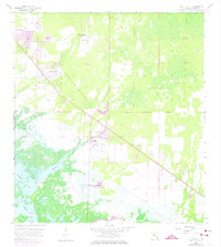
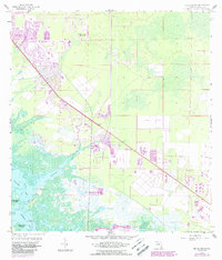
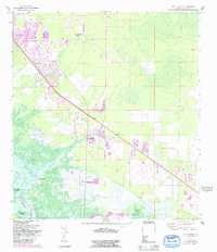
Editions of this 1958 Belle Meade Map
5 editions found
Other maps of this area

1956 · Miami
USGS Topo · 1:250,000

1956 · West Palm Beach
USGS Topo · 1:250,000

1957 · West Palm Beach
USGS Topo · 1:250,000

1958 · West Palm Beach
USGS Topo · 1:250,000

1958 · Miami
USGS Topo · 1:250,000

1958 · Naples South
USGS Topo · 1:24,000

1958 · Belle Meade NE
USGS Topo · 1:24,000

1958 · Belle Meade NW
USGS Topo · 1:24,000

1958 · Belle Meade SE
USGS Topo · 1:24,000

1958 · Naples North
USGS Topo · 1:24,000