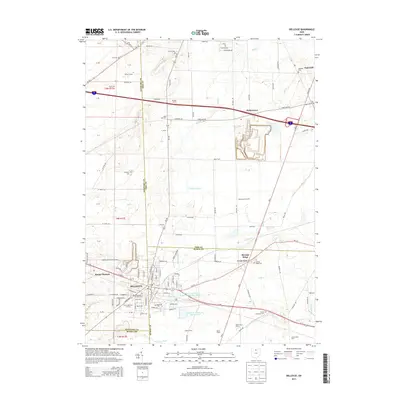
2013 Map of Bellevue
USGS Topo · Published 2013About this map
Bellevue straddles the borders of Sandusky, Erie, and Huron counties, serving as a historic hub for northern Ohio's agricultural and transportation networks. The landscape is defined by its extensive series of burial grounds and family plots, including the Bellevue Cem, Strongs Ridge Cem, and the Wickwire Cem, which provide significant data points for local genealogists. The map reveals a complex water management system featuring the Bellevue Upground Reservoir Number Three and Bellevue Reservoir Number Four, alongside drainage features like Snyders Ditch and Hayward Ditch. Named farmsteads such as Stacy Farm and Kromer Farms populate the rural periphery, while the settlement of Parkertown and the community of Strongs Ridge anchor the eastern portions of the quadrangle. Transport infrastructure is prominent, ranging from the Missler-Bellevue Airport to the thoroughfares of W Main St and Portland Rd.
Find a feature on this map
76 named features on this map. Tap any name to fly to it.
Don’t see what you’re looking for? This feature index may not catch every label — zoom into the map to look around manually.
Map Details
Editions of this 2013 Bellevue Map
This is the sole edition of this map. No revisions or reprints were ever made.
Other maps of this area

1901 · Bellevue
USGS Topo · 1:62,500

1903 · Bellevue
USGS Topo · 1:62,500

1904 · Sandusky
USGS Topo · 1:62,500

1915 · Norwalk
USGS Topo · 1:62,500

1915 · Siam
USGS Topo · 1:62,500

1944 · Norwalk
USGS Topo · 1:62,500

1956 · Toledo
USGS Topo · 1:250,000

1957 · Vickery
USGS Topo · 1:24,000

1959 · Kimball
USGS Topo · 1:24,000

1959 · Sandusky
USGS Topo · 1:24,000