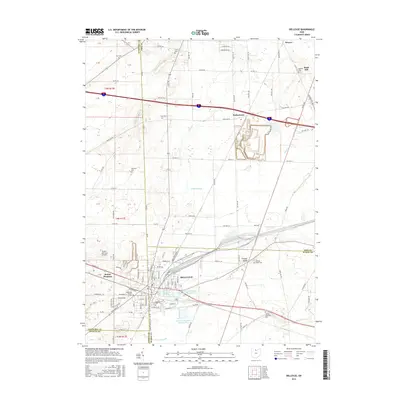
2016 Map of Bellevue
USGS Topo · Published 2016About this map
Bellevue sits at a geographic crossroads in northern Ohio, where the borders of Sandusky, Erie, Huron, and Seneca counties converge. The town's layout is defined by the massive rail yard of the Norfolk Southern railroad, which arcs through the landscape and historically positioned the city as a critical freight hub. This 2016 survey highlights the extensive infrastructure required for local water management, including the Bellevue Upground Reservoir Number Three and the large Bellevue Reservoir Number Four.
Find a feature on this map
128 named features on this map. Tap any name to fly to it.
Don’t see what you’re looking for? This feature index may not catch every label — zoom into the map to look around manually.
Map Details
Editions of this 2016 Bellevue Map
This is the sole edition of this map. No revisions or reprints were ever made.
Other maps of this area

1901 · Bellevue
USGS Topo · 1:62,500

1903 · Bellevue
USGS Topo · 1:62,500

1904 · Sandusky
USGS Topo · 1:62,500

1915 · Norwalk
USGS Topo · 1:62,500

1915 · Siam
USGS Topo · 1:62,500

1944 · Norwalk
USGS Topo · 1:62,500

1956 · Toledo
USGS Topo · 1:250,000

1957 · Vickery
USGS Topo · 1:24,000

1959 · Kimball
USGS Topo · 1:24,000

1959 · Sandusky
USGS Topo · 1:24,000