Loading...
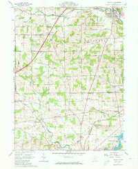
Loading map...1961 Map of Bellville
USGS Topo · Published 1973About this map
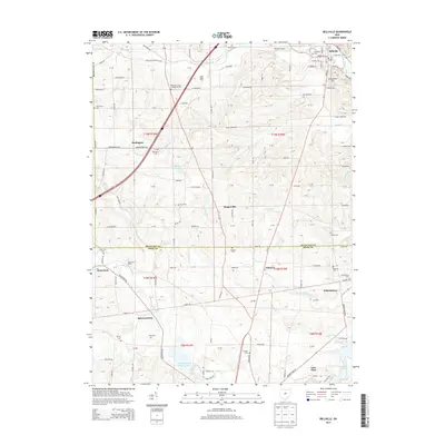
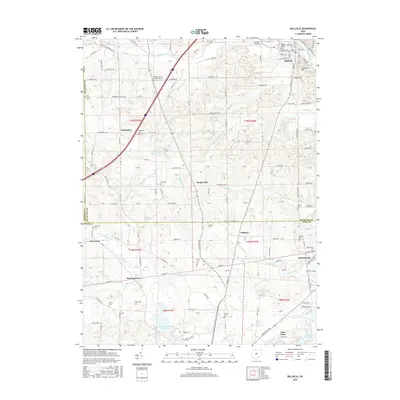
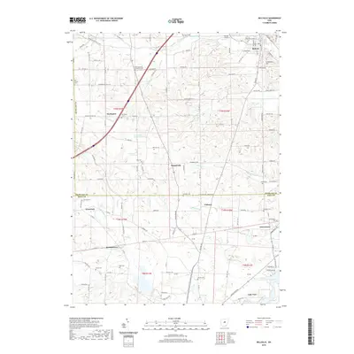
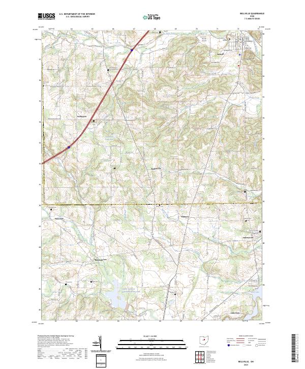
Bellville serves as the primary hub of this 1961 survey, situated where the Clear Fork meets the Mohican River. The landscape transitions from the river valley and Schweitzer Hill in the north toward the expansive State Conservation Area surrounding Knox Lake at the southern margin. This area reflects a dense network of nineteenth-century rural institutions, including the Quaker Ch, Pleasant Hill Ch, and several community Cem sites.
Find a feature on this map
52 named features on this map. Tap any name to fly to it.
Don’t see what you’re looking for? This feature index may not catch every label — zoom into the map to look around manually.
Map Details
Date Portrayed1961
Date Published1973
PublisherU.S. Geological Survey
Map TypeTopographic
Scale1:24,000
Physical Dimensions22.1 x 27 inches
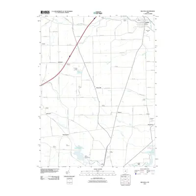
Editions of this 1961 Bellville Map
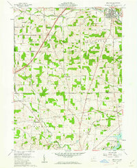
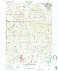
Historical Maps of Bellville Through Time
6 maps found
Featured Locations
- Perry Township, OH
- Berlin Township, OH
- Middlebury Township, OH
- Bellville, OH
- Ankenytown, Berlin Township
Source Details
SourceU.S. Geological Survey
CopyrightPublic Domain