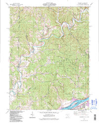
1994 Map of Belmont
USGS Topo · Published 1998About this map
The Ohio River valley south of Belmont is characterized by its complex topography and long-established rural infrastructure. Numerous small streams like Eightmile Creek and Cow Run carve through ridges including Ashley Ridge and Bean Ridge, creating a landscape defined by its drainages. These valleys hosted small communities and farmsteads such as Sitka, Rosenbush, and Yankeeburg. Evidence of early civic life is preserved in the numerous country churches and cemeteries, including Moss Run Ch, Beech Grove Ch, and the Old Dutch Cem.
Find a feature on this map
73 named features on this map. Tap any name to fly to it.
Don’t see what you’re looking for? This feature index may not catch every label — zoom into the map to look around manually.
Map Details
Editions of this 1994 Belmont Map
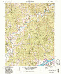
2 editions found
Other maps of this area

1903 · Macksburg
USGS Topo · 1:62,500

1904 · Marietta
USGS Topo · 1:62,500

1905 · New Matamoras
USGS Topo · 1:62,500

1905 · Macksburg
USGS Topo · 1:62,500

1906 · Saint Marys
USGS Topo · 1:62,500

1924 · St Marys
USGS Topo · 1:62,500

1924 · New Matamoras
USGS Topo · 1:62,500

1924 · Marietta
USGS Topo · 1:62,500

1926 · New Matamoras
USGS Topo · 1:62,500

1927 · Marietta
USGS Topo · 1:62,500