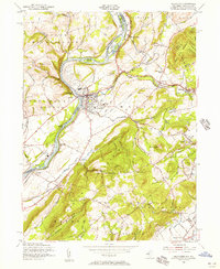
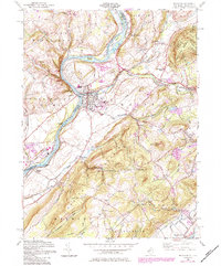
1955 Map of Belvidere
USGS Topo · Published 1956About this map
The Delaware River forms a winding border between New Jersey and Pennsylvania in this mid-century portrait of Warren and Northampton counties. At the heart of the region, Belvidere sits at the confluence of the Pequest River and the Delaware, serving as a hub for the Pennsylvania New Jersey and Lehigh and Hudson River railroads. The map highlights a landscape defined by significant elevation changes, from the riverbanks up to Jenny Jump Mountain and the heights of Scotts Mountain. Local industry and infrastructure are well-documented, including a Power House at Foul Rift, a Quarry near Oxford, and several gravel pits. Smaller settlements like Sarepta, Manunka Chunk, and Brass Castle appear alongside rural landmarks such as Hillside Cem and the Jenny Jump State Forest, providing a detailed look at the area's development before major modern highway expansions.
Find a feature on this map
70 named features on this map. Tap any name to fly to it.
Don’t see what you’re looking for? This feature index may not catch every label — zoom into the map to look around manually.
Map Details
Editions of this 1955 Belvidere Map
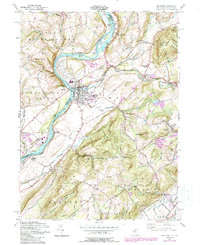
6 editions found
Other maps of this area

1888 · Hackettstown
USGS Topo · 1:62,500

1890 · Easton
USGS Topo · 1:62,500

1890 · High Bridge
USGS Topo · 1:62,500

1891 · Easton
USGS Topo · 1:62,500

1891 · Delaware Water Gap
USGS Topo · 1:62,500

1893 · Delaware Water Gap
USGS Topo · 1:62,500

1894 · Hackettstown
USGS Topo · 1:62,500

1898 · Hackettstown
USGS Topo · 1:62,500

1898 · High Bridge
USGS Topo · 1:62,500

1900 · Raritan
USGS Topo · 1:125,000