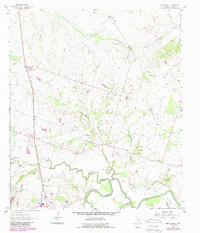
1962 Map of Ben Arnold
USGS Topo · Published 1989About this map
Ben Arnold and the surrounding Milam County farmlands are defined by a network of drainage creeks feeding into the Little River at the southern edge of this survey. The landscape reflects a deeply rooted rural community, where family names are etched into the terrain through sites like Vogelsang Cem, Elm Grove Cem, and the Walkers Creek Sch. Small centers such as Silver City and Splawn dot the countryside, while the Municipal Airpark near Cameron signals the mid-century infrastructure of the region.
Find a feature on this map
30 named features on this map. Tap any name to fly to it.
Don’t see what you’re looking for? This feature index may not catch every label — zoom into the map to look around manually.
Map Details
Editions of this 1962 Ben Arnold Map
2 editions found
Other maps of this area

1885 · Taylor
USGS Topo · 1:125,000

1887 · Taylor
USGS Topo · 1:125,000

1892 · Temple
USGS Topo · 1:125,000

1894 · Taylor
USGS Topo · 1:125,000

1954 · Waco
USGS Topo · 1:250,000

1954 · Austin
USGS Topo · 1:250,000

1955 · Waco
USGS Topo · 1:250,000

1961 · Hanover
USGS Topo · 1:24,000

1961 · Cameron
USGS Topo · 1:24,000

1961 · Baileyville
USGS Topo · 1:24,000