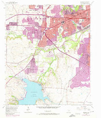
1955 Map of Benbrook
USGS Topo · Published 1974About this map
Carswell Air Force Base and the massive waters of Benbrook Lake dominate this Tarrant County landscape, capturing a pivotal moment of suburban expansion and military infrastructure. The map illustrates the growth of White Settlement and Benbrook during the mid-1950s, with later purple revisions highlighting the rapid urban sprawl that occurred by the early 1970s. The Clear Fork Trinity River winds through the center, feeding the lake just south of the Benbrook Dam. Local education and community life are well-documented through numerous institutions like St Peters Sch, Phillips Sch, and Arlington Heights High Sch. Transportation networks including the Texas and Pacific railroad and the Veterans Highway define the movement of goods and people across this bustling North Texas corridor.
Find a feature on this map
44 named features on this map. Tap any name to fly to it.
Don’t see what you’re looking for? This feature index may not catch every label — zoom into the map to look around manually.
Map Details
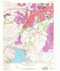
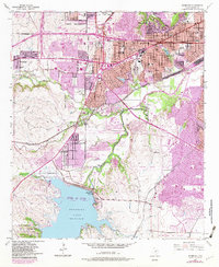
Editions of this 1955 Benbrook Map
4 editions found

Other maps of this area

1891 · Weatherford
USGS Topo · 1:125,000

1893 · Weatherford
USGS Topo · 1:125,000

1894 · Fort Worth
USGS Topo · 1:125,000

1932 · Springtown
USGS Topo · 1:62,500

1954 · Dallas
USGS Topo · 1:250,000

1955 · Haltom City
USGS Topo · 1:24,000

1955 · Burleson
USGS Topo · 1:24,000

1955 · Aledo
USGS Topo · 1:24,000

1955 · Primrose
USGS Topo · 1:24,000
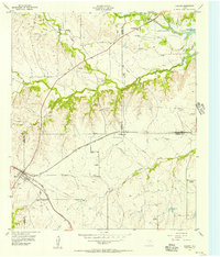
1955 · Cresson
USGS Topo · 1:24,000