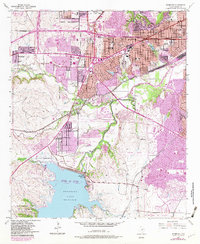
1955 Map of Benbrook
USGS Topo · Published 1982About this map
Benbrook Lake and the Benbrook Dam anchor the southern landscape of this 1950s Tarrant County survey, updated with late-1970s suburban expansion. The western edge of Fort Worth shows significant post-war growth, particularly around the sprawling Carswell Air Force Base and the municipality of White Settlement. This era marks the transition of rural land into residential tracts, visible in the purple revision overlays that highlight the spreading urban boundary into areas like Westland and Valley West Park.
Find a feature on this map
53 named features on this map. Tap any name to fly to it.
Don’t see what you’re looking for? This feature index may not catch every label — zoom into the map to look around manually.
Map Details
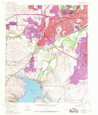
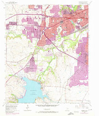
Editions of this 1955 Benbrook Map
4 editions found

Other maps of this area

1891 · Weatherford
USGS Topo · 1:125,000

1893 · Weatherford
USGS Topo · 1:125,000

1894 · Fort Worth
USGS Topo · 1:125,000

1932 · Springtown
USGS Topo · 1:62,500

1954 · Dallas
USGS Topo · 1:250,000

1955 · Haltom City
USGS Topo · 1:24,000

1955 · Burleson
USGS Topo · 1:24,000

1955 · Aledo
USGS Topo · 1:24,000

1955 · Primrose
USGS Topo · 1:24,000
1955 · Cresson
USGS Topo · 1:24,000