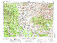
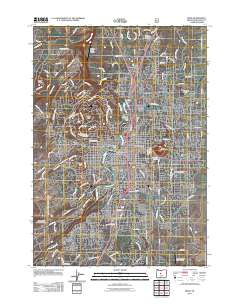
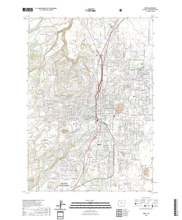
1955 Map of Bend
USGS Topo · Published 1973About this map
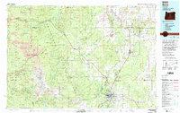
The Warm Springs Indian Reservation occupies the northern reaches of this central Oregon landscape, where the Deschutes River and Crooked River converge at Lake Billy Chinook. This mid-century survey captures the region's complex water management and timber economy, evidenced by the Ochoco Reservoir and numerous lumber mills. To the west, the volcanic skyline is dominated by the Three Sisters—comprising North Sister, Middle Sister, and South Sister—alongside Mt Jefferson and Mt Washington.
Find a feature on this map
122 named features on this map. Tap any name to fly to it.
Don’t see what you’re looking for? This feature index may not catch every label — zoom into the map to look around manually.
Map Details
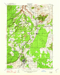
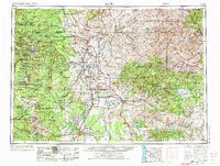
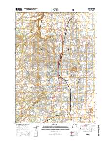
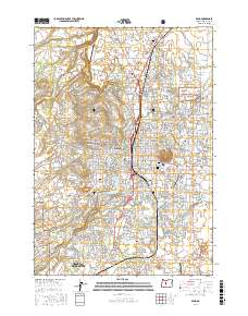
Editions of this 1955 Bend Map
3 editions found

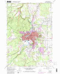
Historical Maps of Bend Through Time
13 maps found

1926 Bend
Deschutes County, OR
1929 Bend
Deschutes County, OR
1955 Bend
Deschutes County, OR

1957 Bend
Deschutes County, OR

1958 Bend
Deschutes County, OR
1962 Bend
Deschutes County, OR
1980 Bend
Deschutes County, OR
2011 Bend
Deschutes County, OR
2014 Bend
Deschutes County, OR
2017 Bend
Deschutes County, OR

2020 Bend
Deschutes County, OR

2023 Bend
Deschutes County, OR
2024 Bend
Deschutes County, OR