
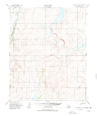
1950 Map of Bendeleben D-2
USGS Topo · Published 1956About this map
The Inmachuk River and Kugruk River dominate this 1950s terrain in the Seward Peninsula region, carving deep drainage patterns through the high country. Small-scale resource extraction and remote accessibility are evident in the presence of a Gold Mine near the riverbank and the Fink Creek Landing Strip to the west. Isolated structures, simply labeled as Cabin or Cabins, are scattered along the watercourses, marking the few points of human habitation in this expansive landscape.
Find a feature on this map
17 named features on this map. Tap any name to fly to it.
Don’t see what you’re looking for? This feature index may not catch every label — zoom into the map to look around manually.
Map Details
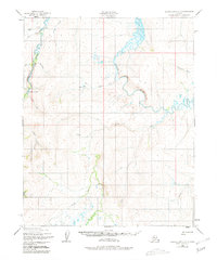
Editions of this 1950 Bendeleben D-2 Map
3 editions found
Other maps of this area

1950 · Kotzebue A-1
USGS Topo · 1:63,360

1950 · Bendeleben C-1
USGS Topo · 1:63,360

1950 · Bendeleben C-3
USGS Topo · 1:63,360

1950 · Bendeleben C-2
USGS Topo · 1:63,360

1950 · Bendeleben
USGS Topo · 1:250,000

1950 · Bendeleben D-3
USGS Topo · 1:63,360

1950 · Bendeleben D-1
USGS Topo · 1:63,360

1950 · Kotzebue A-3
USGS Topo · 1:63,360

1950 · Kotzebue A-2
USGS Topo · 1:63,360

1951 · Bendeleben
USGS Topo · 1:250,000