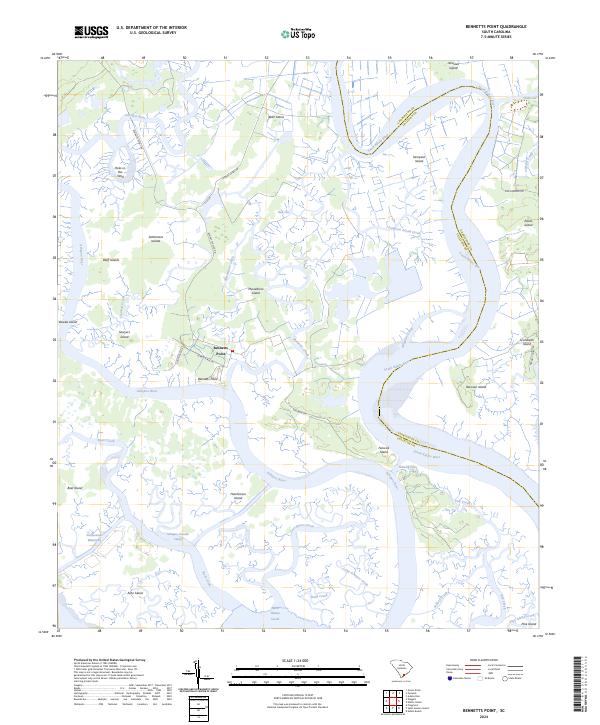
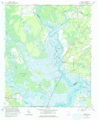
2024 Map of Bennetts Point
USGS Topo · Published 2024This historical map portrays the area of Bennetts Point in 2024, primarily covering Colleton County as well as portions of Charleston County. Featuring a scale of 1:24000, this map provides a highly detailed snapshot of the terrain, roads, buildings, counties, and historical landmarks in the Bennetts Point region at the time. Published in 2024, it is the sole known edition of this map.
Map Details
Editions of this 2024 Bennetts Point Map
This is the sole edition of this map. No revisions or reprints were ever made.
Historical Maps of Charleston County Through Time
26 maps found
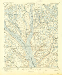
1918 Green Pond
Colleton County, SC
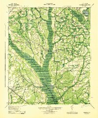
1919 Cummings
Colleton County, SC
1943 Cummings
Colleton County, SC
1943 Green Pond
Colleton County, SC
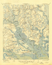
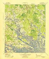
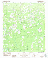
1960 Bennetts Point
Colleton County, SC
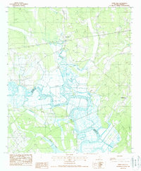
1960 Fenwick
Colleton County, SC
1982 St. George SW
Colleton County, SC
1988 Black Creek
Colleton County, SC
1988 Green Pond
Colleton County, SC
1988 Hendersonville
Colleton County, SC
1988 Neyles
Colleton County, SC
1988 Round O
Colleton County, SC

1988 Sniders Crossroads
Colleton County, SC
1988 White Hall
Colleton County, SC
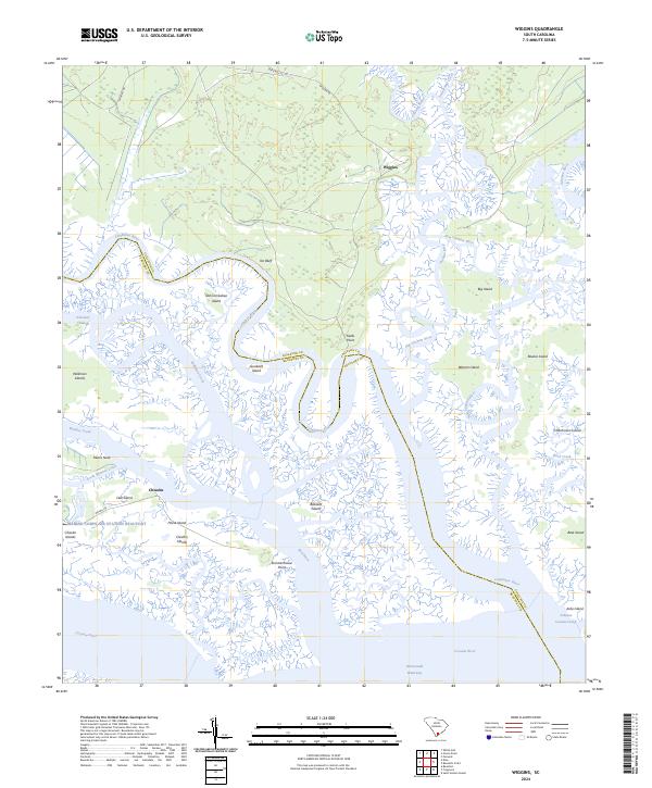
1988 Wiggins
Colleton County, SC
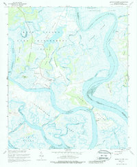
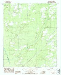
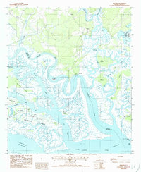
2024 Bennetts Point
Colleton County, SC
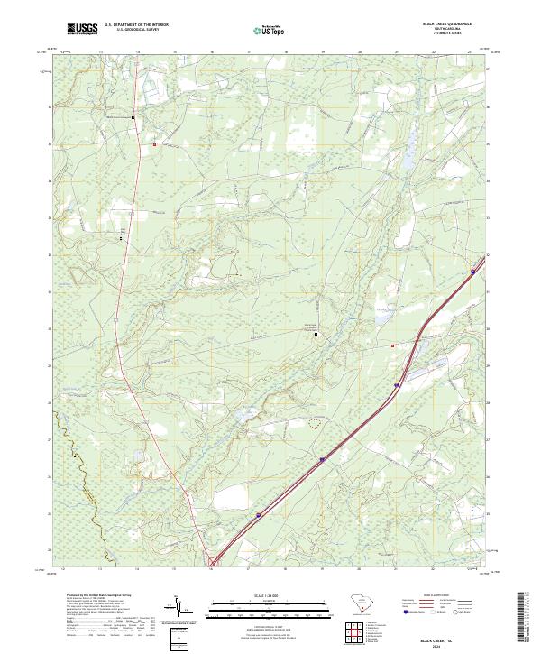
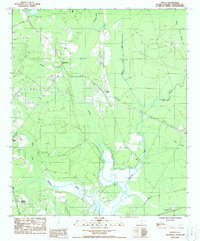
2024 Black Creek
Colleton County, SC
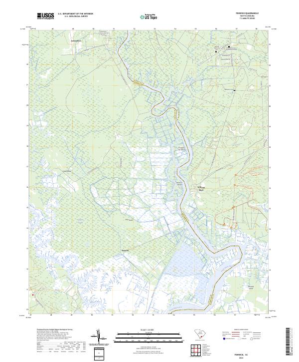
2024 Fenwick
Colleton County, SC
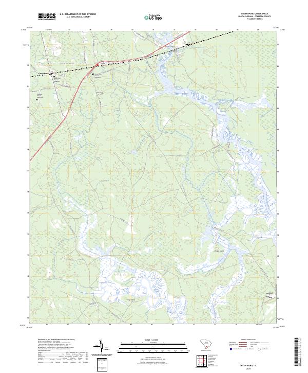
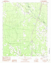
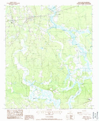
2024 Green Pond
Colleton County, SC
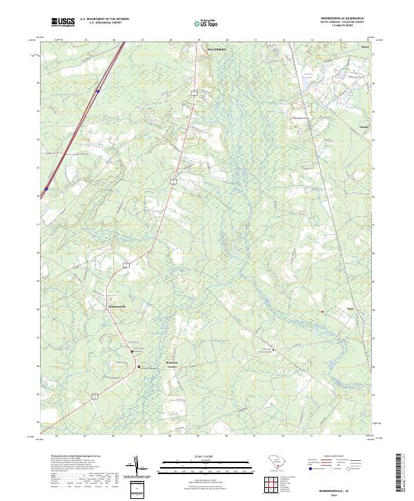
2024 Hendersonville
Colleton County, SC
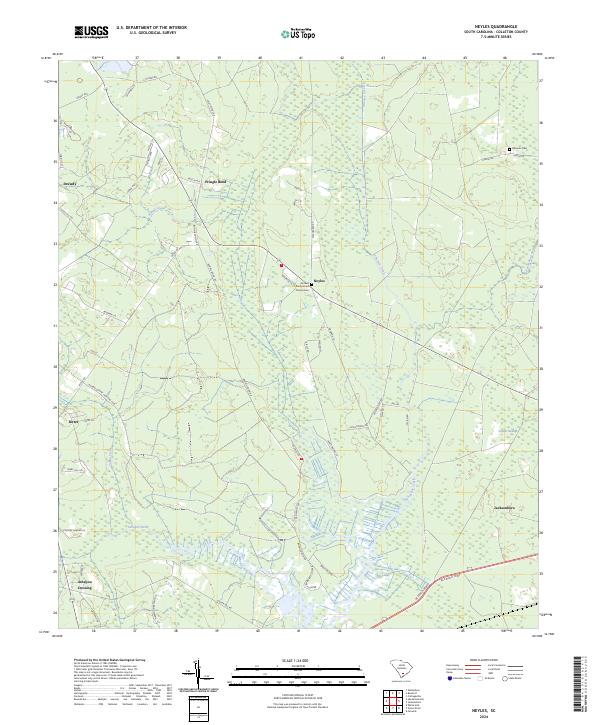
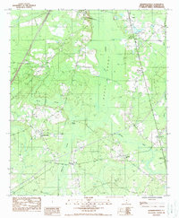
2024 Neyles
Colleton County, SC
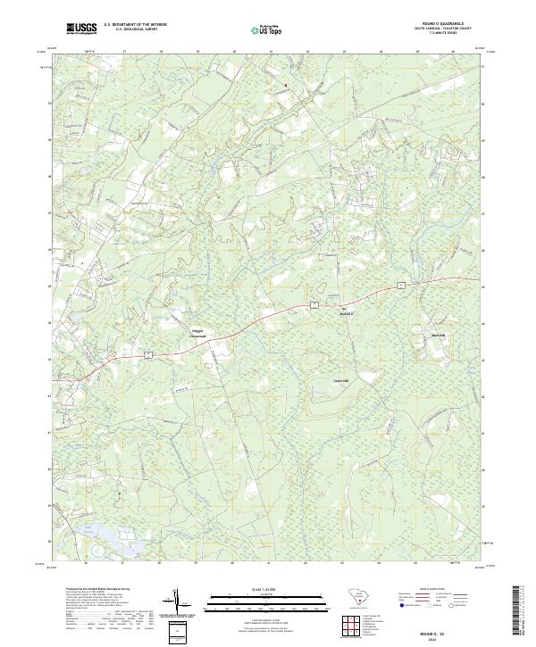
2024 Round O
Colleton County, SC
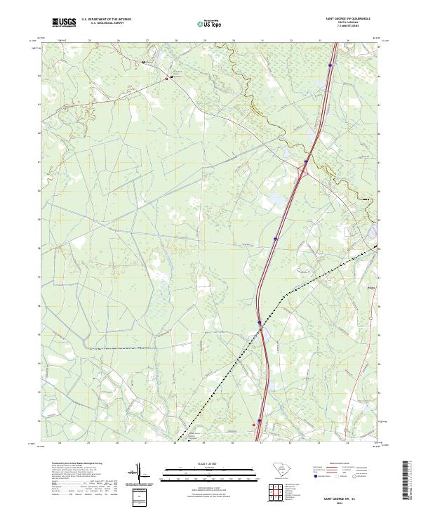
2024 Saint George SW
Colleton County, SC
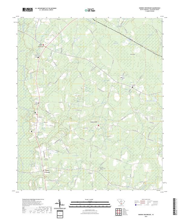
2024 Sniders Crossroads
Colleton County, SC
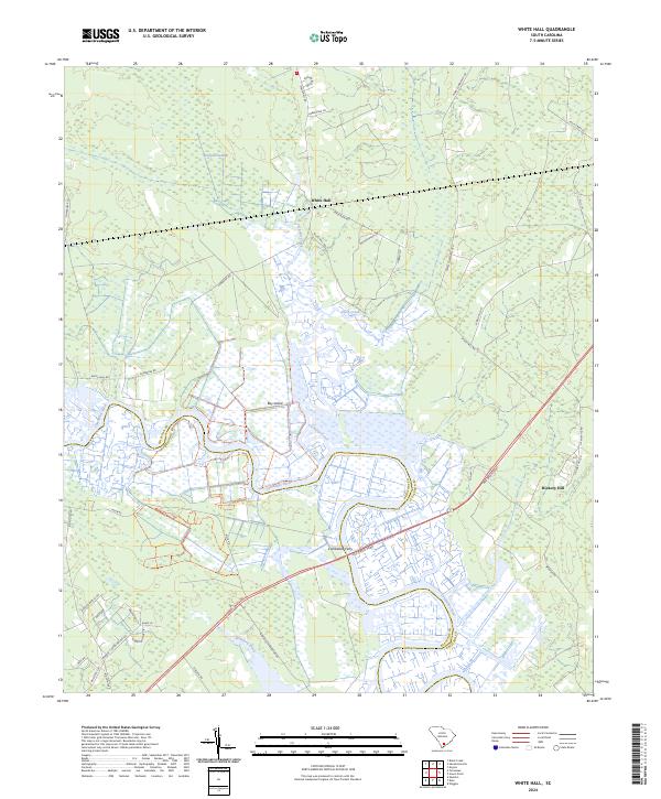
2024 White Hall
Colleton County, SC
2024 Wiggins
Colleton County, SC