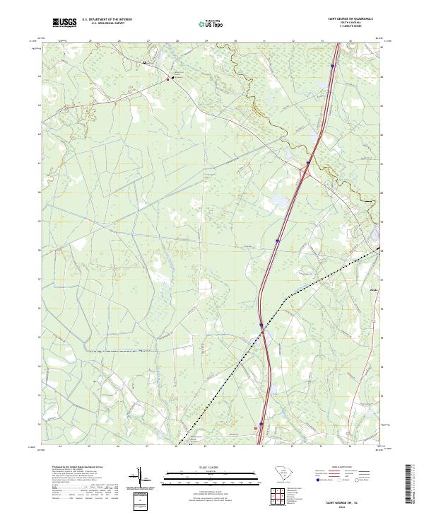
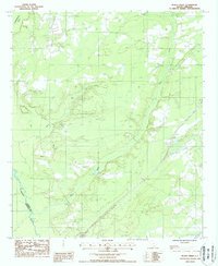
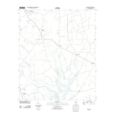
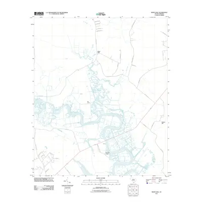
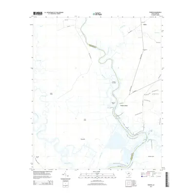
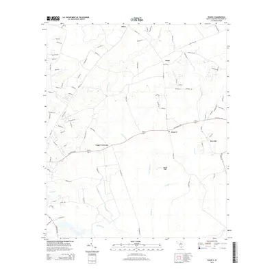
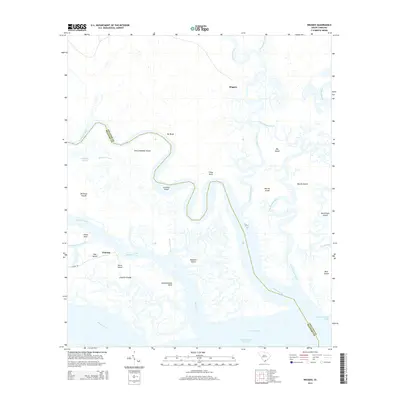
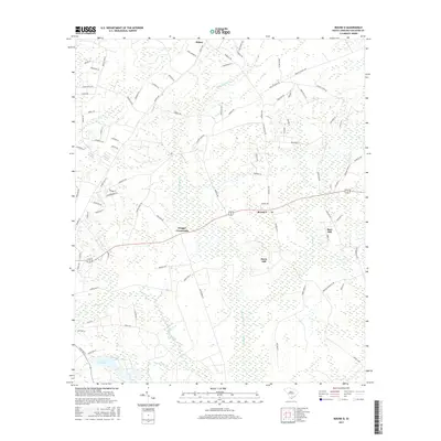
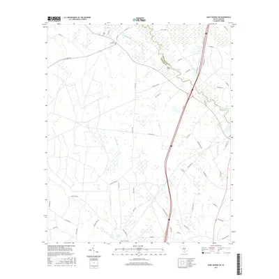
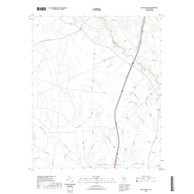
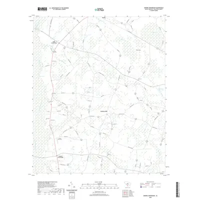
2024 Map of Saint George SW
USGS Topo · Published 2024About this map
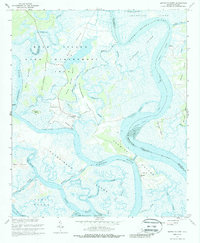
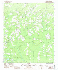
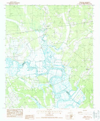
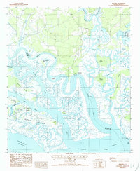
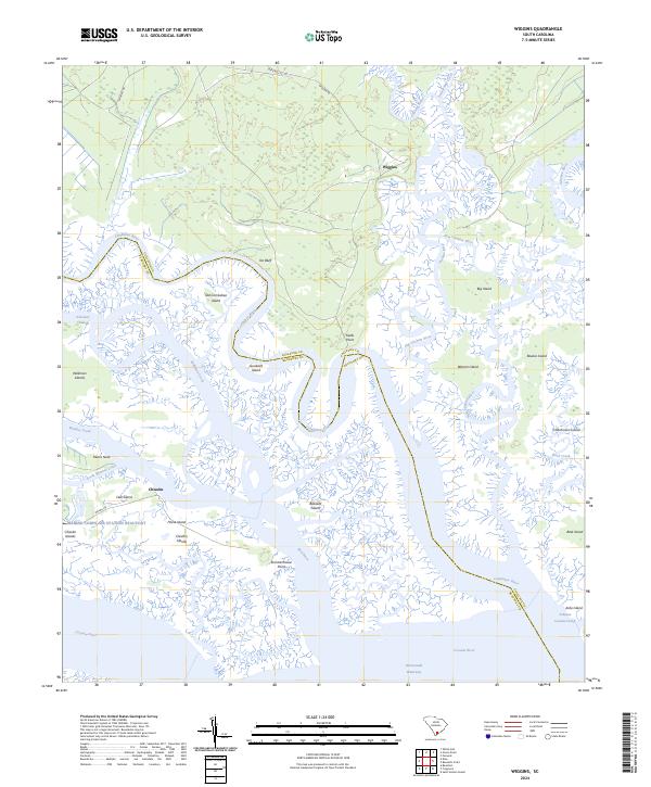
The Edisto River meanders along the boundary between Dorchester Co and Colleton Co, anchoring a landscape defined by timber tracts and family farmstead roads. This 2024 survey captures the rural character of the Lowcountry, where small settlements like Weeks persist alongside long-established social centers. Local history and genealogy are centered on sites such as Green Pond Church and Mount Carmel Church, with the Spell Cem and an additional Graveyard near the Brickhouse Branch providing physical links to the area's generations.
Find a feature on this map
60 named features on this map. Tap any name to fly to it.
Don’t see what you’re looking for? This feature index may not catch every label — zoom into the map to look around manually.
Map Details
Editions of this 2024 Saint George SW Map
This is the sole edition of this map. No revisions or reprints were ever made.
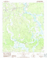
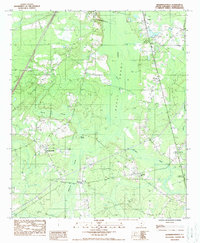
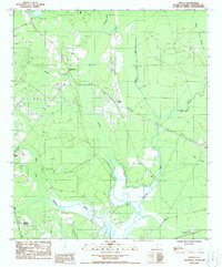
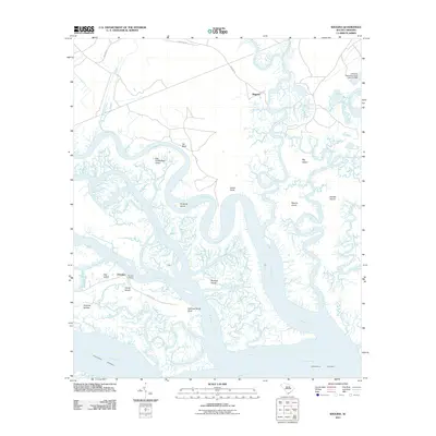
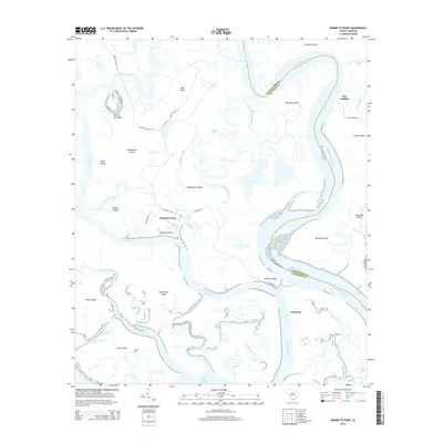
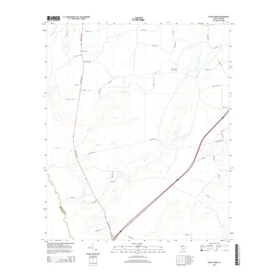
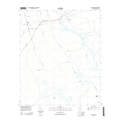
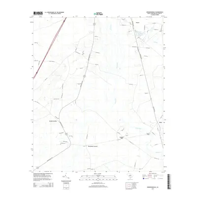
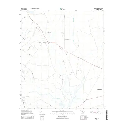
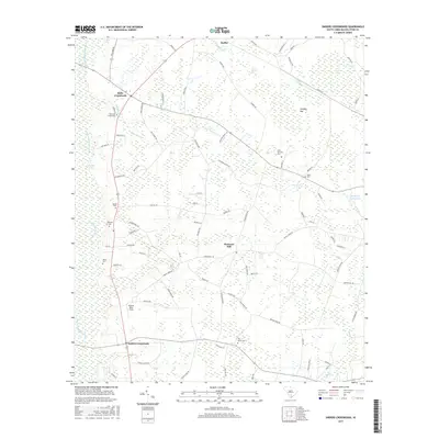
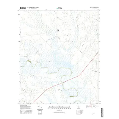
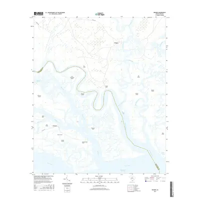
Historical Maps of Springtown Through Time
70 maps found
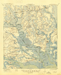
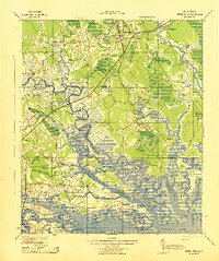
1918 Green Pond
Colleton County, SC
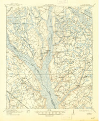
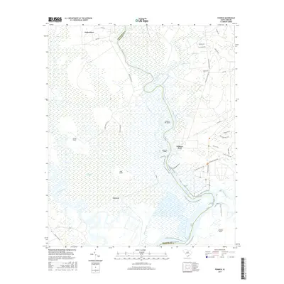
1919 Cummings
Colleton County, SC
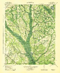
1943 Cummings
Colleton County, SC
1943 Green Pond
Colleton County, SC
1960 Bennetts Point
Colleton County, SC
1960 Fenwick
Colleton County, SC
1982 St. George SW
Colleton County, SC
1988 Black Creek
Colleton County, SC
1988 Green Pond
Colleton County, SC
1988 Hendersonville
Colleton County, SC
1988 Neyles
Colleton County, SC
1988 Round O
Colleton County, SC

1988 Sniders Crossroads
Colleton County, SC
1988 White Hall
Colleton County, SC
1988 Wiggins
Colleton County, SC
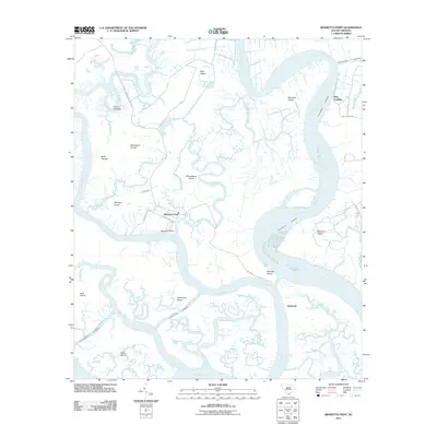
2011 Bennetts Point
Colleton County, SC
2011 Black Creek
Colleton County, SC
2011 Fenwick
Colleton County, SC
2011 Green Pond
Colleton County, SC
2011 Hendersonville
Colleton County, SC
2011 Neyles
Colleton County, SC
2011 Round O
Colleton County, SC
2011 Saint George SW
Colleton County, SC
2011 Sniders Crossroads
Colleton County, SC
2011 White Hall
Colleton County, SC
2011 Wiggins
Colleton County, SC
2014 Bennetts Point
Colleton County, SC
2014 Black Creek
Colleton County, SC
2014 Fenwick
Colleton County, SC
2014 Green Pond
Colleton County, SC
2014 Hendersonville
Colleton County, SC
2014 Neyles
Colleton County, SC
2014 Round O
Colleton County, SC
2014 Saint George SW
Colleton County, SC
2014 Sniders Crossroads
Colleton County, SC
2014 White Hall
Colleton County, SC
2014 Wiggins
Colleton County, SC
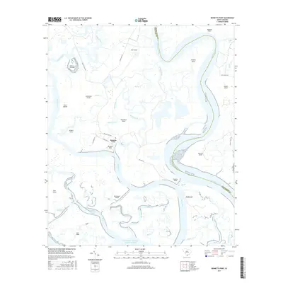
2017 Bennetts Point
Colleton County, SC
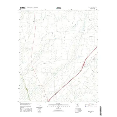
2017 Black Creek
Colleton County, SC
2017 Fenwick
Colleton County, SC
2017 Green Pond
Colleton County, SC
2017 Hendersonville
Colleton County, SC
2017 Neyles
Colleton County, SC
2017 Round O
Colleton County, SC
2017 Saint George SW
Colleton County, SC
2017 Sniders Crossroads
Colleton County, SC
2017 White Hall
Colleton County, SC
2017 Wiggins
Colleton County, SC
2020 Bennetts Point
Colleton County, SC
2020 Black Creek
Colleton County, SC
2020 Fenwick
Colleton County, SC
2020 Green Pond
Colleton County, SC
2020 Hendersonville
Colleton County, SC
2020 Neyles
Colleton County, SC
2020 Round O
Colleton County, SC
2020 Saint George SW
Colleton County, SC
2020 Sniders Crossroads
Colleton County, SC
2020 White Hall
Colleton County, SC
2020 Wiggins
Colleton County, SC
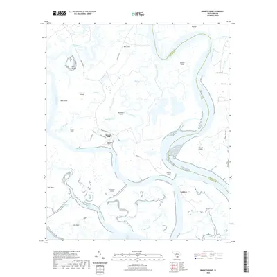
2024 Bennetts Point
Colleton County, SC
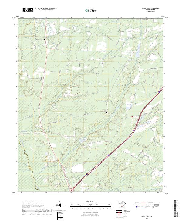
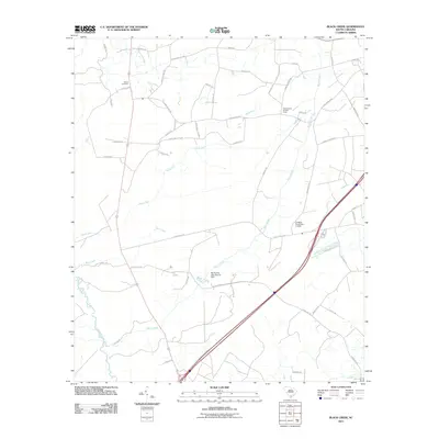
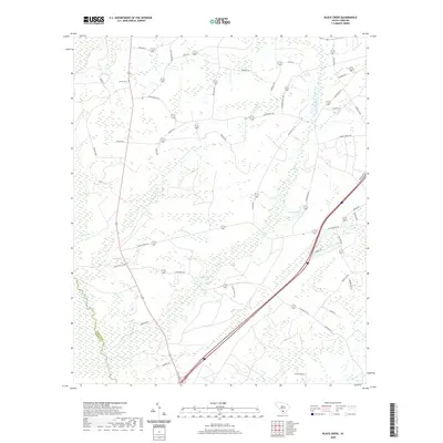
2024 Black Creek
Colleton County, SC
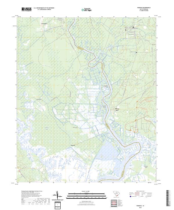
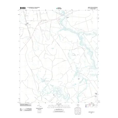
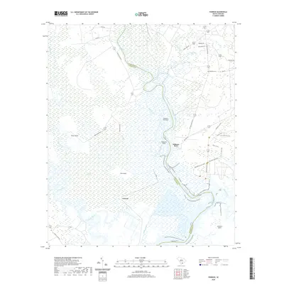
2024 Fenwick
Colleton County, SC
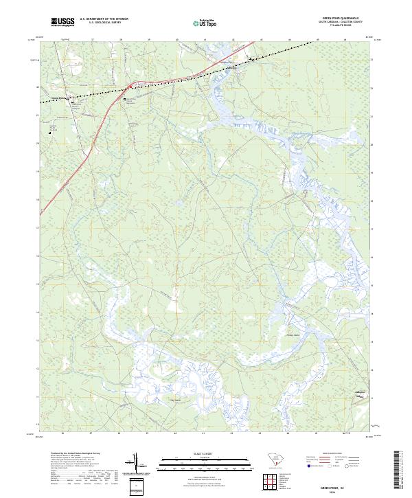
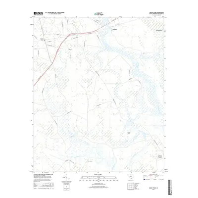
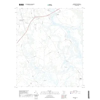
2024 Green Pond
Colleton County, SC
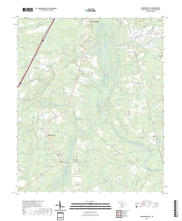
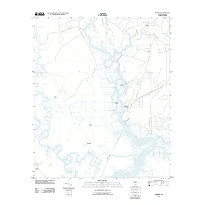
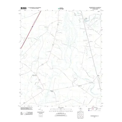
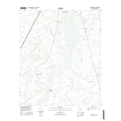
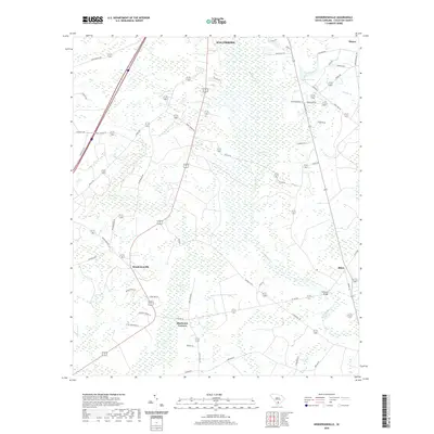
2024 Hendersonville
Colleton County, SC
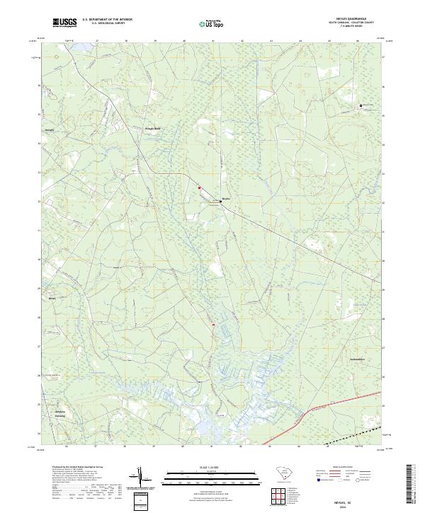
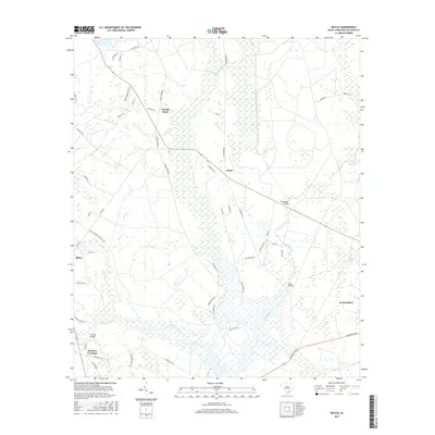
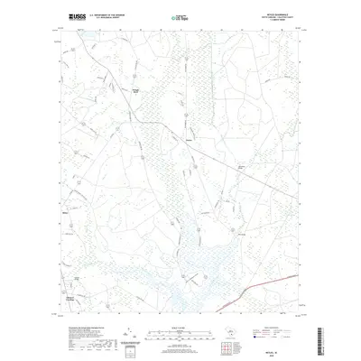
2024 Neyles
Colleton County, SC
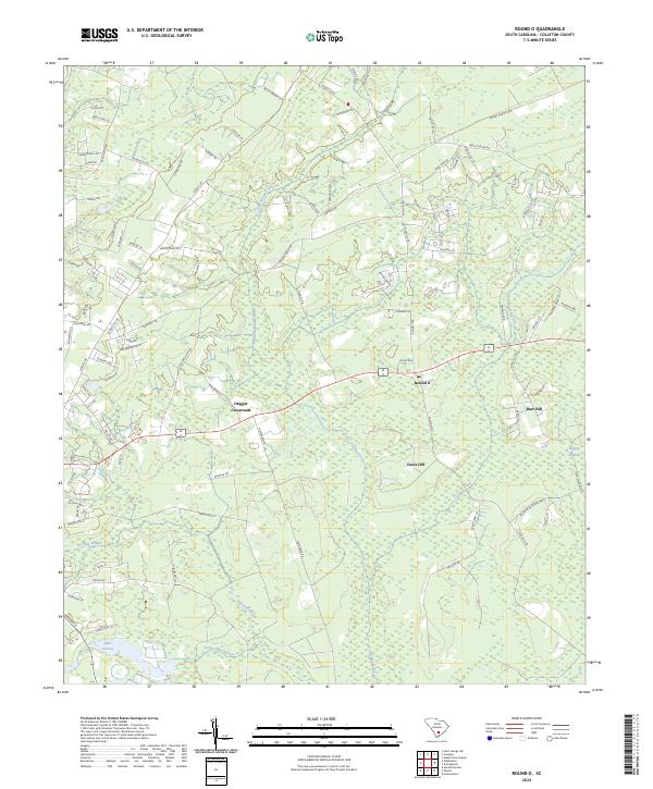
2024 Round O
Colleton County, SC
2024 Saint George SW
Colleton County, SC
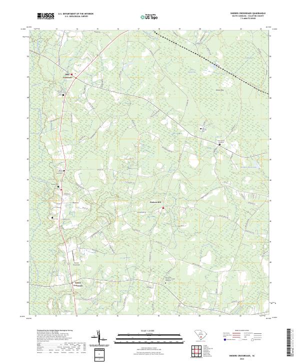
2024 Sniders Crossroads
Colleton County, SC
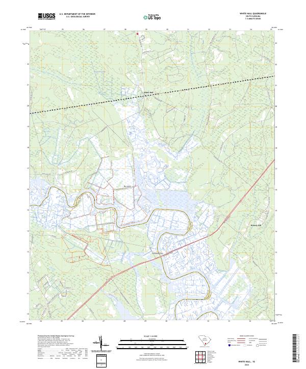
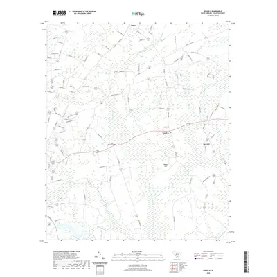
2024 White Hall
Colleton County, SC
2024 Wiggins
Colleton County, SC