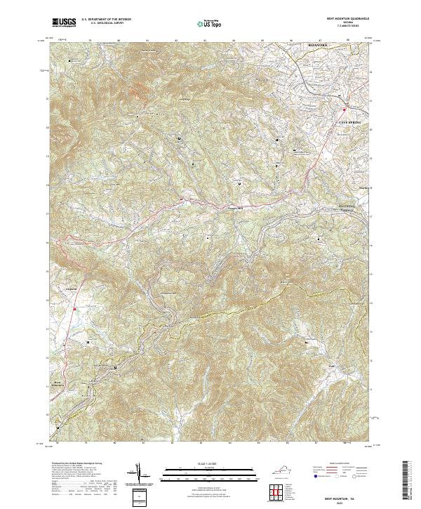
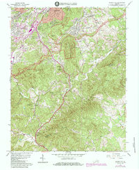
2022 Map of Bent Mountain
USGS Topo · Published 2022About this map
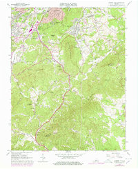
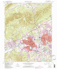
Poor Mtn and the surrounding high ground of the Blue Ridge dominate this area south of Roanoke, where the suburban edges of Cave Spring meet the deeply folded terrain of the Roanoke Co Franklin Co line. This landscape is defined by its transition from the developed valley into the steep, wooded heights of the Blue Ridge Parkway. Small settlements like Poages Mill and Airpoint are situated along the valley floor, while numerous family cemeteries—such as the Ferguson Family Cem and Reynolds-Beamer Cem—are tucked into the hollows and ridge shoulders. The map documents the headwaters of several drainages, including Back Cr and the N Fork Maggodee Cr, which flow through a network of gaps like Slings Gap and Simmonds Gap. The presence of the Laurel Ridge Primitive Baptist Church highlights the longstanding rural community structures that persist even as modern roads follow the contours of the ancient mountains.
Find a feature on this map
41 named features on this map. Tap any name to fly to it.
Don’t see what you’re looking for? This feature index may not catch every label — zoom into the map to look around manually.
Map Details
Editions of this 2022 Bent Mountain Map
This is the sole edition of this map. No revisions or reprints were ever made.
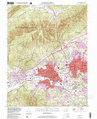
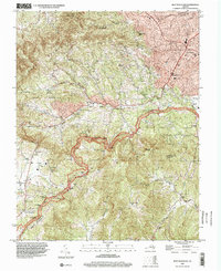
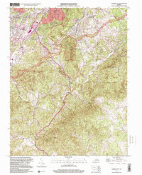
Historical Maps of Airpoint Through Time
15 maps found
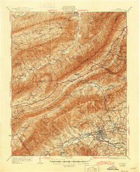
1929 Salem
Roanoke County, VA
1932 Salem
Roanoke County, VA
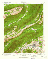
1963 Bent Mountain
Roanoke County, VA
1963 Garden City
Roanoke County, VA
1963 Salem
Roanoke County, VA

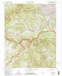
1977 Bent Mountain
Roanoke County, VA
1977 Garden City
Roanoke County, VA
1977 Salem
Roanoke County, VA
1984 Garden City
Roanoke County, VA
1994 Salem
Roanoke County, VA
1996 Bent Mountain
Roanoke County, VA
1999 Garden City
Roanoke County, VA
2022 Bent Mountain
Roanoke County, VA
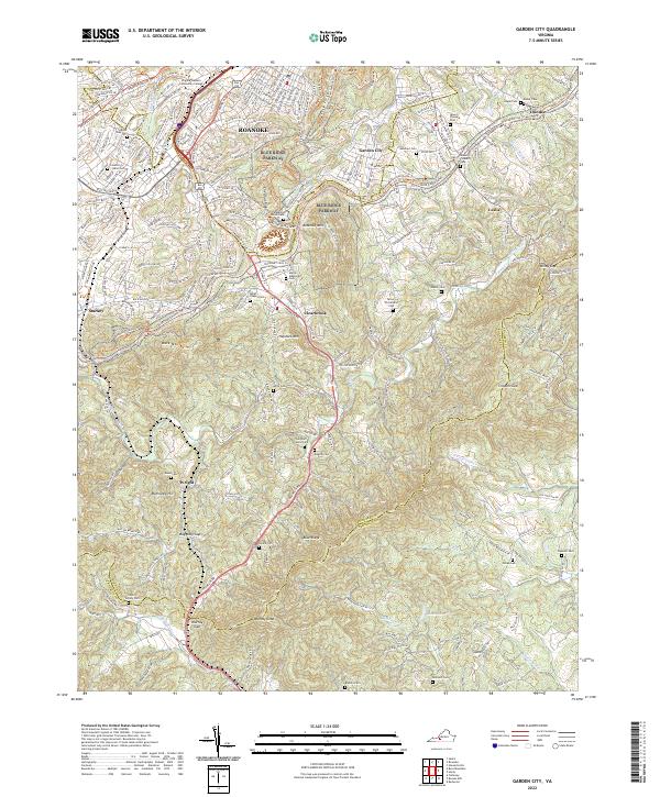
2022 Garden City
Roanoke County, VA
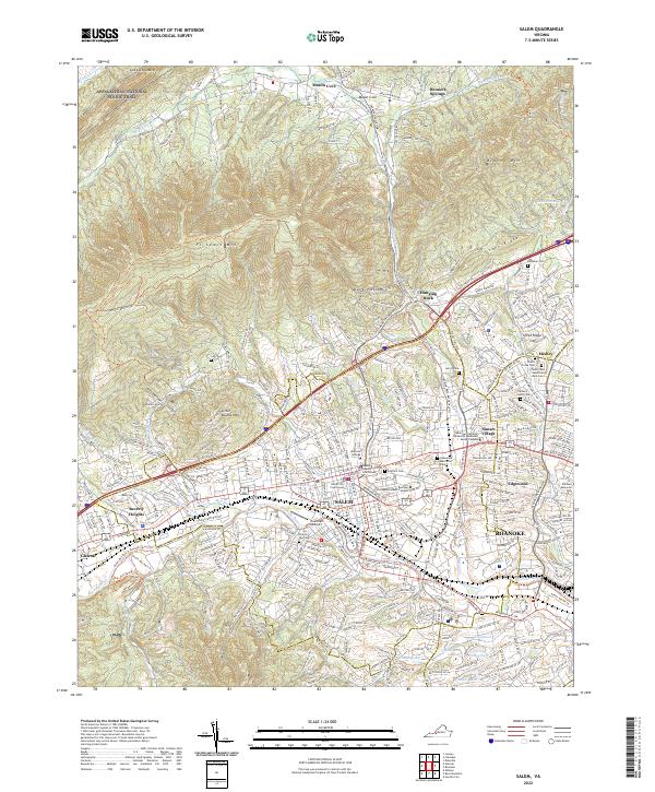
2022 Salem
Roanoke County, VA