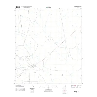
2013 Map of Berclair
USGS Topo · Published 2013About this map
Berclair serves as the primary hub in this South Texas landscape, where the town site is organized around Front St, N St, and Temple St. The surrounding Goliad County terrain is defined by a dense network of seasonal drainages, including the winding Mucorrera Cr and Millers Cr. To the south, the Myers Cem offers a point of interest for genealogists tracing local families in the rural district. Transportation and infrastructure are central to the area's layout, evidenced by the Goliad County Industrial Airpark in the north and a system of county roads like Cord-419 and Clip Rd that connect the various ranchlands. The map provides a detailed view of the natural hydrology, from Live Oak Cr to the confluence of Indian Cr and Blanco Cr, illustrating the creek-fed geography of the coastal plain.
Find a feature on this map
28 named features on this map. Tap any name to fly to it.
Don’t see what you’re looking for? This feature index may not catch every label — zoom into the map to look around manually.
Map Details
Editions of this 2013 Berclair Map
This is the sole edition of this map. No revisions or reprints were ever made.
Other maps of this area
1953 · Beeville
USGS Topo · 1:250,000
1954 · Skidmore
USGS Topo · 1:62,500
1954 · Refugio
USGS Topo · 1:62,500
1956 · Beeville
USGS Topo · 1:250,000
1960 · Beeville
USGS Topo · 1:250,000
1962 · Melo
USGS Topo · 1:24,000
1962 · Goliad
USGS Topo · 1:24,000
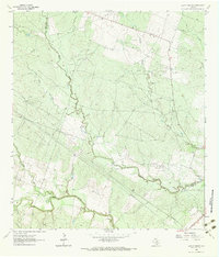
1963 · Lazy F Ranch
USGS Topo · 1:24,000
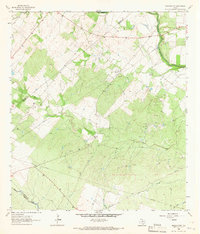
1963 · Berclair NW
USGS Topo · 1:24,000
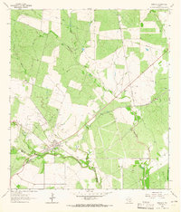
1963 · Berclair
USGS Topo · 1:24,000