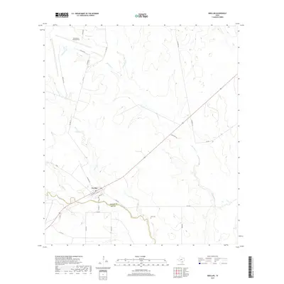
2019 Map of Berclair
USGS Topo · Published 2019About this map
Berclair sits at the intersection of rural South Texas transit and history, serving as a focal point where FM 883 meets the corridor of Mission Ave. The town’s grid is clearly defined by streets such as Front St and Temple St, reflecting the organized layout of this Goliad County settlement. To the north, the Goliad Naval Outlying Field occupies a significant portion of the landscape, its runways and perimeter roads like E Air Base Rd and Air Base Rd contrasting with the winding paths of the region's many waterways.
Find a feature on this map
33 named features on this map. Tap any name to fly to it.
Don’t see what you’re looking for? This feature index may not catch every label — zoom into the map to look around manually.
Map Details
Editions of this 2019 Berclair Map
This is the sole edition of this map. No revisions or reprints were ever made.
Other maps of this area
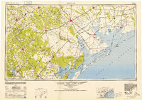
1953 · Beeville
USGS Topo · 1:250,000
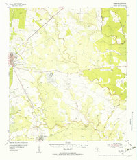
1954 · Skidmore
USGS Topo · 1:62,500
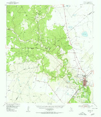
1954 · Refugio
USGS Topo · 1:62,500
1956 · Beeville
USGS Topo · 1:250,000
1960 · Beeville
USGS Topo · 1:250,000
1962 · Melo
USGS Topo · 1:24,000
1962 · Goliad
USGS Topo · 1:24,000
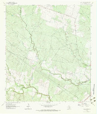
1963 · Lazy F Ranch
USGS Topo · 1:24,000
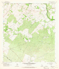
1963 · Berclair NW
USGS Topo · 1:24,000
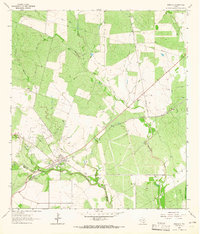
1963 · Berclair
USGS Topo · 1:24,000