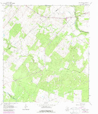
1963 Map of Berclair NW
USGS Topo · Published 1987About this map
The San Antonio River cuts through the northeast corner of this landscape, marking the transition between the rolling uplands of Goliad and Karnes counties. Surveyed in the early 1960s with revisions in the 1980s, the map reveals a countryside defined by the mid-century petroleum economy. Underground energy resources are mapped through the extent of the North Pettus Field and Dial Gas Field, supported by a visible infrastructure of a Pumping Station, numerous Gas Wells, and Oil Wells.
Find a feature on this map
16 named features on this map. Tap any name to fly to it.
Don’t see what you’re looking for? This feature index may not catch every label — zoom into the map to look around manually.
Map Details
Editions of this 1963 Berclair NW Map
2 editions found
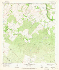
Other maps of this area

1936 · Pettus
USGS Topo · 1:62,500

1953 · Beeville
USGS Topo · 1:250,000

1956 · Beeville
USGS Topo · 1:250,000

1956 · Pettus
USGS Topo · 1:62,500

1956 · Karnes City
USGS Topo · 1:62,500

1960 · Beeville
USGS Topo · 1:250,000
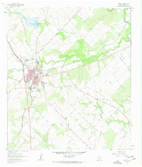
1961 · Kenedy
USGS Topo · 1:24,000
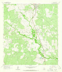
1963 · Tuleta
USGS Topo · 1:24,000
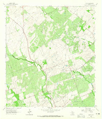
1963 · Tulsita
USGS Topo · 1:24,000
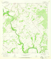
1963 · Choate
USGS Topo · 1:24,000