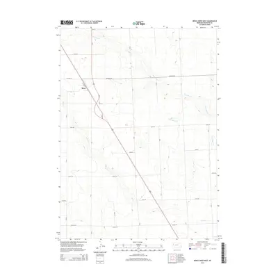
2014 Map of Berea Creek West
USGS Topo · Published 2014About this map
Berea serves as the central point of interest in this High Plains landscape, situated along the BNSF Railway corridor as it cuts diagonally through the Nebraska panhandle. The map reveals a strictly organized grid of rural roads, including Jefferson Rd and Madison Rd, which define the agricultural sections of Box Butte County. Hydrology is represented by the ephemeral courses of Hemingford Cr and Berea Cr, which meander across the contours of the open prairie. The layout of Depot St in the small settlement of Berea indicates the enduring historical importance of the railroad to this region's grain-handling and transportation economy. For researchers, the map provides precise locations for named rural thoroughfares like Johnson Rd and Hayes Rd, marking the connections between isolated farmsteads and the rail line.
Find a feature on this map
23 named features on this map. Tap any name to fly to it.
Don’t see what you’re looking for? This feature index may not catch every label — zoom into the map to look around manually.
Map Details
Editions of this 2014 Berea Creek West Map
This is the sole edition of this map. No revisions or reprints were ever made.
Other maps of this area
1946 · Berea Creek East
USGS Topo · 1:24,000
1947 · Alliance
USGS Topo · 1:24,000
1947 · Bronco Lake
USGS Topo · 1:24,000
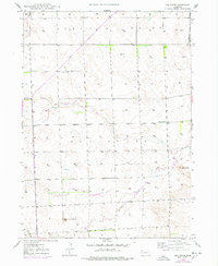
1947 · Box Butte
USGS Topo · 1:24,000
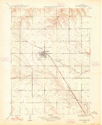
1948 · Hemingford
USGS Topo · 1:24,000
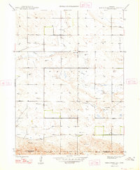
1948 · Hemingford 4 SE
USGS Topo · 1:24,000
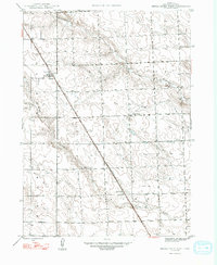
1948 · Berea Creek West
USGS Topo · 1:24,000
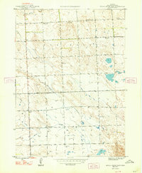
1948 · Berea Creek East
USGS Topo · 1:24,000
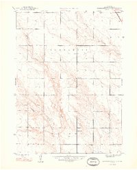
1948 · Hemingford 4 NE
USGS Topo · 1:24,000
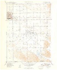
1948 · Alliance
USGS Topo · 1:24,000