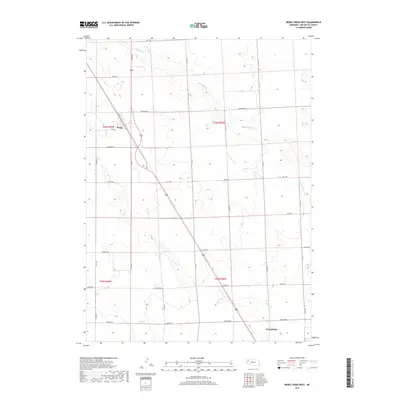
2017 Map of Berea Creek West
USGS Topo · Published 2017About this map
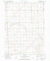
Berea stands as a small community node in this high plains landscape of Box Butte County, where a rigid grid of section roads like Keith Rd and Lincoln Rd overlays the natural drainage of the Nebraska Panhandle. The map captures the northern edge of Alliance, with streets such as Derby St and A St marking the urban expansion into the surrounding agricultural territory. Waterways such as Hemingford Cr and Berea Cr cut diagonal paths across the surveyed sections, creating the only breaks in the geometric precision of the township lines. This 2017 survey reflects the persistent rural character of the region, documenting the named road network from Hall Rd to Madison Rd that connects isolated homesteads and ranching operations to the larger hub of Alliance.
Find a feature on this map
27 named features on this map. Tap any name to fly to it.
Don’t see what you’re looking for? This feature index may not catch every label — zoom into the map to look around manually.
Map Details
Editions of this 2017 Berea Creek West Map
This is the sole edition of this map. No revisions or reprints were ever made.
Other maps of this area
1946 · Berea Creek East
USGS Topo · 1:24,000
1947 · Alliance
USGS Topo · 1:24,000
1947 · Bronco Lake
USGS Topo · 1:24,000
1947 · Box Butte
USGS Topo · 1:24,000
1948 · Hemingford
USGS Topo · 1:24,000
1948 · Hemingford 4 SE
USGS Topo · 1:24,000
1948 · Berea Creek West
USGS Topo · 1:24,000
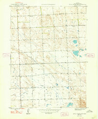
1948 · Berea Creek East
USGS Topo · 1:24,000
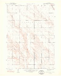
1948 · Hemingford 4 NE
USGS Topo · 1:24,000
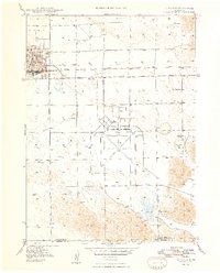
1948 · Alliance
USGS Topo · 1:24,000