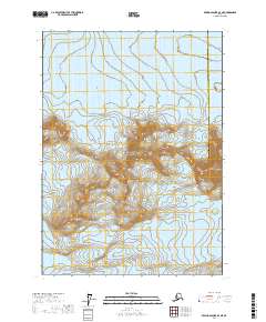
2017 Map of Bering Glacier B-3 NE
USGS Topo · Published 2017About this map
Wrangell-Saint Elias National Park encompasses the glaciated terrain of this remote coastal Alaskan landscape. The massive Bering Glacier dominates the northern reaches, its icy expanse stretching across several townships within the Yakutat Borough. To the south, the Yahtse Glacier flows through the high elevations of the Chugach Mountains, where steep contours rise sharply from sea-level drainages. The map captures the meeting point of the borough and the Valdez-Cordova Census Area, illustrating how political boundaries traverse some of the most formidable topography in the Pacific Northwest. This survey is a record of an ever-shifting icy wilderness, showing the extent of these major glacial systems and the primary peaks of the Chugach range before further modern recession.
Find a feature on this map
11 named features on this map. Tap any name to fly to it.
Don’t see what you’re looking for? This feature index may not catch every label — zoom into the map to look around manually.
Map Details
Editions of this 2017 Bering Glacier B-3 NE Map
This is the sole edition of this map. No revisions or reprints were ever made.
Other maps of this area

1950 · Bering Glacier
USGS Topo · 1:250,000

1951 · Bering Glacier
USGS Topo · 1:250,000

1959 · Bering Glacier
USGS Topo · 1:250,000
1985 · Bering Glacier C-2
USGS Topo · 1:63,360
1985 · Bering Glacier B-3
USGS Topo · 1:63,360
1985 · Bering Glacier B-2
USGS Topo · 1:63,360
1985 · Bering Glacier C-3
USGS Topo · 1:63,360
2017 · Bering Glacier B-2 NW
USGS Topo · 1:25,000
2017 · Bering Glacier B-3 SW
USGS Topo · 1:25,000
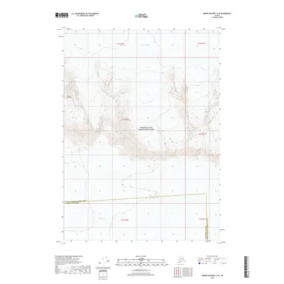
2017 · Bering Glacier C-3 SE
USGS Topo · 1:25,000