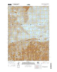
2014 Map of Bering Glacier B-8 SE
USGS Topo · Published 2014About this map
Steller Glacier and Waxell Glacier dominate this glaciated Alaskan landscape, illustrating the complex flow of ice within the Chugach Mountains region. The interaction between these massive ice bodies is punctuated by the Central Medial Moraine Band, a distinct topographical feature formed where the glacial flows converge and carry accumulated debris. This 2014 survey documents the glacial extent and the intricate contour patterns of the surrounding ice fields during a period of significant environmental monitoring. The map provides precise documentation of the Public Land Survey System boundaries, including t17s r10e and t18s r9e, overlaid across the shifting frozen terrain.
Find a feature on this map
9 named features on this map. Tap any name to fly to it.
Don’t see what you’re looking for? This feature index may not catch every label — zoom into the map to look around manually.
Map Details
Editions of this 2014 Bering Glacier B-8 SE Map
This is the sole edition of this map. No revisions or reprints were ever made.
Other maps of this area

1950 · Bering Glacier
USGS Topo · 1:250,000

1951 · Bering Glacier
USGS Topo · 1:250,000

1959 · Bering Glacier
USGS Topo · 1:250,000
1984 · Bering Glacier A-8
USGS Topo · 1:63,360
1984 · Bering Glacier A-7
USGS Topo · 1:63,360
1985 · Bering Glacier B-8
USGS Topo · 1:63,360
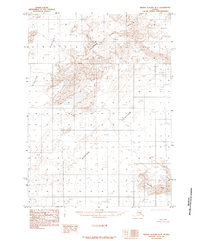
1985 · Bering Glacier B-7
USGS Topo · 1:63,360
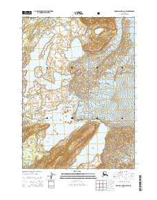
2014 · Bering Glacier B-8 SW
USGS Topo · 1:25,000
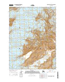
2014 · Bering Glacier B-7 NW
USGS Topo · 1:25,000
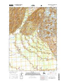
2014 · Bering Glacier A-8 NW
USGS Topo · 1:25,000