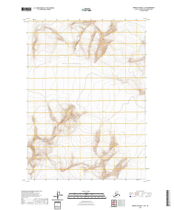
2024 Map of Bering Glacier C-1 SW
USGS Topo · Published 2024About this map
Saint Elias Mountains dominate the northern terrain of this quadrangle, characterized by severe elevation changes and expansive glacial features. The map details a remote wilderness landscape within the Wrangell-St. Elias Wilderness, where the massive ice flow of the Bering Glacier meets the southern slopes of the range. To the southwest, the Chugach Mountains emerge, marking a significant transition point between two of Alaska's most prominent mountain systems. The absence of roads, settlements, or structures emphasizes the primitive state of this environment, focusing entirely on the intricate contouring of the peaks and the vast reaches of the ice field. This survey serves as a precise record of glacial positioning and topographic relief in a region where the landscape is defined by the slow movement of ice and the height of the coastal ranges.
Find a feature on this map
10 named features on this map. Tap any name to fly to it.
Don’t see what you’re looking for? This feature index may not catch every label — zoom into the map to look around manually.
Map Details
Editions of this 2024 Bering Glacier C-1 SW Map
This is the sole edition of this map. No revisions or reprints were ever made.
Other maps of this area

1950 · Bering Glacier
USGS Topo · 1:250,000

1951 · Bering Glacier
USGS Topo · 1:250,000

1959 · Bering Glacier
USGS Topo · 1:250,000
1985 · Bering Glacier B-1
USGS Topo · 1:63,360
1985 · Bering Glacier C-2
USGS Topo · 1:63,360
1985 · Bering Glacier C-1
USGS Topo · 1:63,360
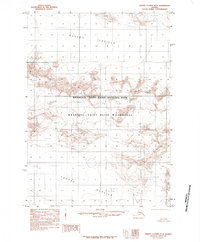
1985 · Bering Glacier B-2
USGS Topo · 1:63,360
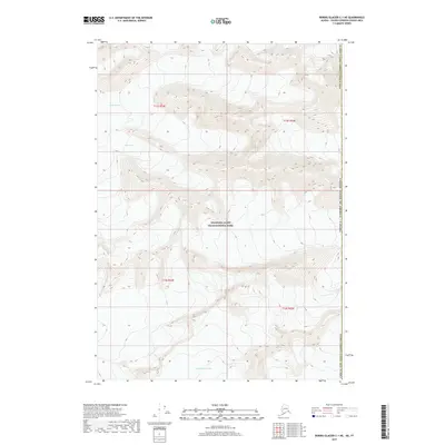
2017 · Bering Glacier C-1 NE
USGS Topo · 1:25,000
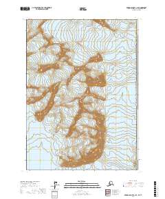
2017 · Bering Glacier C-1 SE
USGS Topo · 1:25,000
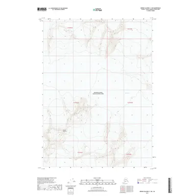
2017 · Bering Glacier C-1 SW
USGS Topo · 1:25,000