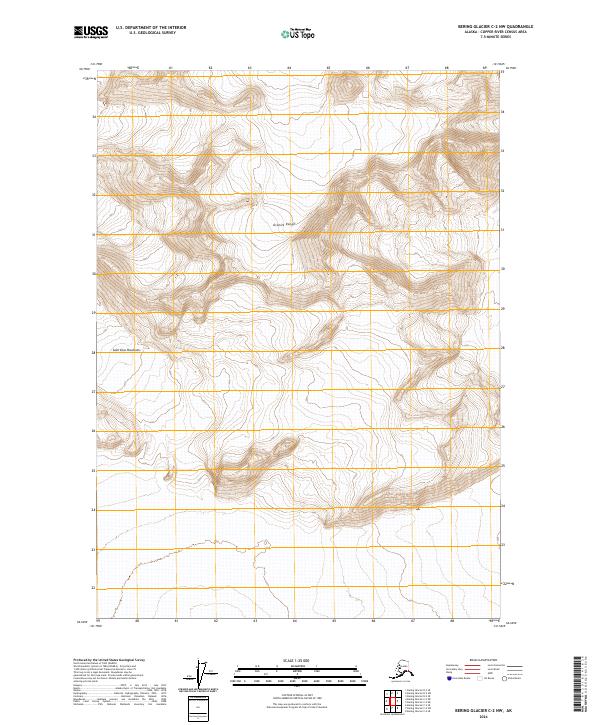
2024 Map of Bering Glacier C-2 NW
USGS Topo · Published 2024About this map
Wrangell-St Elias Wilderness covers a significant portion of this high-altitude landscape, protecting a remote expanse where the Granite Range meets the formidable peaks of the Saint Elias Mountains. The topography is defined by extreme vertical relief, with contour lines indicating steep glacial valleys and sharp ridgelines typical of the Copper River Census Area's interior. This 2024 survey reflects the modern management of these protected lands, showing the intersection of several survey townships, including t13s r21e and t14s r22e. With no roads or permanent settlements indicated, the map reveals a purely geological and wilderness environment where the physical geography of the Alaska-Yukon border region remains the primary feature of interest.
Find a feature on this map
7 named features on this map. Tap any name to fly to it.
Don’t see what you’re looking for? This feature index may not catch every label — zoom into the map to look around manually.
Map Details
Editions of this 2024 Bering Glacier C-2 NW Map
This is the sole edition of this map. No revisions or reprints were ever made.
Other maps of this area

1950 · Bering Glacier
USGS Topo · 1:250,000

1951 · Bering Glacier
USGS Topo · 1:250,000

1959 · Bering Glacier
USGS Topo · 1:250,000
1984 · Bering Glacier D-2
USGS Topo · 1:63,360
1984 · Bering Glacier D-3
USGS Topo · 1:63,360
1985 · Bering Glacier C-2
USGS Topo · 1:63,360
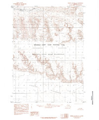
1985 · Bering Glacier C-3
USGS Topo · 1:63,360
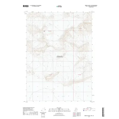
2017 · Bering Glacier C-2 NW
USGS Topo · 1:25,000
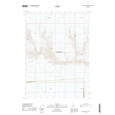
2017 · Bering Glacier C-3 SE
USGS Topo · 1:25,000
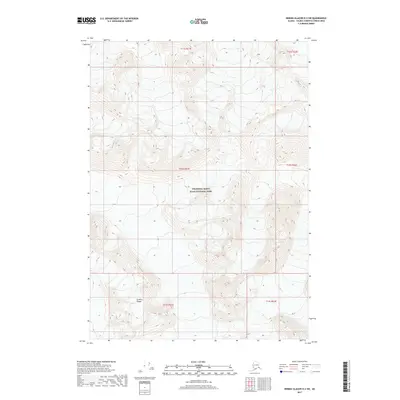
2017 · Bering Glacier D-2 SW
USGS Topo · 1:25,000