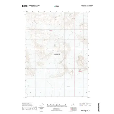
2017 Map of Bering Glacier C-3 NE
USGS Topo · Published 2017About this map
Wrangell-Saint Elias National Park dominates this high-altitude landscape, where the shifting ice of the Jefferies Glacier flows across the southern portion of the quadrangle. The map captures a transition of pure wilderness, defined by extreme elevation changes and glacial movement rather than human settlement. While the terrain is uninhabited, the survey provides precise documentation of the ice field's margins and the surrounding peaks within the Public Land Survey System designations of t14s r20e and t14s r21e. This 2017 edition serves as a modern record of the glacial topography before further environmental shifts alter the character of this protected landscape.
Find a feature on this map
6 named features on this map. Tap any name to fly to it.
Don’t see what you’re looking for? This feature index may not catch every label — zoom into the map to look around manually.
Map Details
Editions of this 2017 Bering Glacier C-3 NE Map
This is the sole edition of this map. No revisions or reprints were ever made.
Other maps of this area
1950 · Bering Glacier
USGS Topo · 1:250,000
1951 · Bering Glacier
USGS Topo · 1:250,000
1959 · Bering Glacier
USGS Topo · 1:250,000
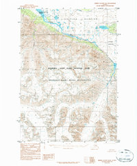
1984 · Bering Glacier D-2
USGS Topo · 1:63,360
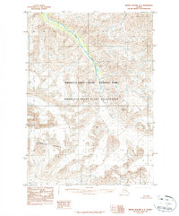
1984 · Bering Glacier D-3
USGS Topo · 1:63,360
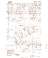
1985 · Bering Glacier C-2
USGS Topo · 1:63,360
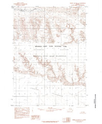
1985 · Bering Glacier C-3
USGS Topo · 1:63,360
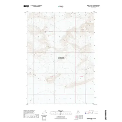
2017 · Bering Glacier C-2 NW
USGS Topo · 1:25,000
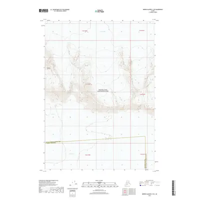
2017 · Bering Glacier C-3 SE
USGS Topo · 1:25,000
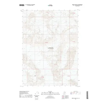
2017 · Bering Glacier D-2 SW
USGS Topo · 1:25,000