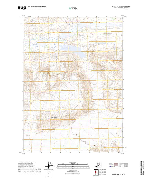
2024 Map of Bering Glacier C-4 NE
USGS Topo · Published 2024About this map
The high-elevation landscape of the Saint Elias Mountains dominates this portion of the Wrangell-St. Elias Wilderness. The terrain is characterized by massive ridgelines and drainage systems, where the Chugach Mountains converge with the Granite Range in a remote section of the Alaska-Copper River Census Area. Glacial hydrology is evident through the path of Granite Creek, which cuts through the northern reaches of the quadrangle. Significant elevation changes are marked along Thompson Ridge, providing a detailed look at the complex topography of this protected interior wilderness before it reaches the southern coastal ice fields. The map serves as a primary record of contemporary land boundaries, including the townships of t13s r18e and t14s r18e, in an area devoid of permanent human settlements or road infrastructure.
Find a feature on this map
11 named features on this map. Tap any name to fly to it.
Don’t see what you’re looking for? This feature index may not catch every label — zoom into the map to look around manually.
Map Details
Editions of this 2024 Bering Glacier C-4 NE Map
This is the sole edition of this map. No revisions or reprints were ever made.
Other maps of this area

1950 · Bering Glacier
USGS Topo · 1:250,000

1951 · Bering Glacier
USGS Topo · 1:250,000

1959 · Bering Glacier
USGS Topo · 1:250,000

1984 · Bering Glacier D-4
USGS Topo · 1:63,360
1984 · Bering Glacier D-3
USGS Topo · 1:63,360
1985 · Bering Glacier C-4
USGS Topo · 1:63,360
1985 · Bering Glacier C-3
USGS Topo · 1:63,360
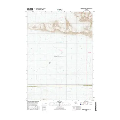
2016 · Bering Glacier C-4 SE
USGS Topo · 1:25,000
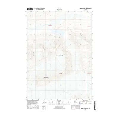
2016 · Bering Glacier C-4 NE
USGS Topo · 1:25,000
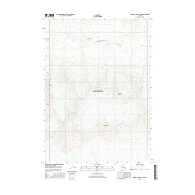
2016 · Bering Glacier C-4 NW
USGS Topo · 1:25,000