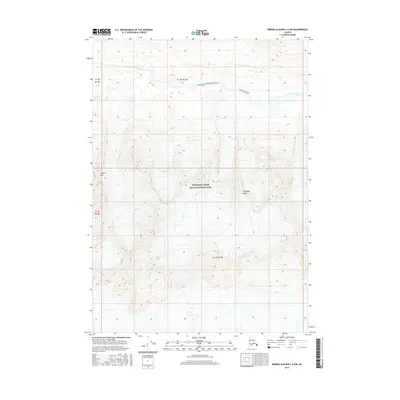
2016 Map of Bering Glacier C-4 NW
USGS Topo · Published 2016About this map
Wrangell-Saint Elias National Park dominates this 2016 topographical landscape, where the shifting ice of Tana Glacier carves through the southern portion of the quadrangle. The map documents a wilderness transition, defined by the drainage of Granite Creek as it flows beneath the rising elevations of Thompson Ridge. This modern survey records the high-altitude terrain including Needle Mtn and the isolated Ross Green Lake. These features represent a largely untouched glacial environment in Alaska's Unorganized Borough, where the National Park Service manages vast tracts of ice and rock. The detail here captures the specific extent of glacial coverage and stream paths at a moment when such frozen landscapes are under constant observation for change.
Find a feature on this map
10 named features on this map. Tap any name to fly to it.
Don’t see what you’re looking for? This feature index may not catch every label — zoom into the map to look around manually.
Map Details
Editions of this 2016 Bering Glacier C-4 NW Map
This is the sole edition of this map. No revisions or reprints were ever made.
Other maps of this area

1950 · Bering Glacier
USGS Topo · 1:250,000

1951 · Bering Glacier
USGS Topo · 1:250,000

1959 · Bering Glacier
USGS Topo · 1:250,000

1984 · Bering Glacier D-4
USGS Topo · 1:63,360

1984 · Bering Glacier D-5
USGS Topo · 1:63,360
1985 · Bering Glacier C-5
USGS Topo · 1:63,360
1985 · Bering Glacier C-4
USGS Topo · 1:63,360
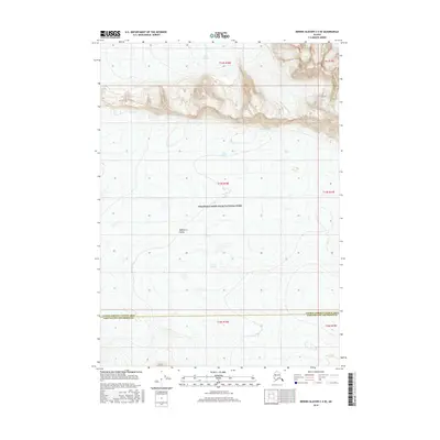
2016 · Bering Glacier C-4 SE
USGS Topo · 1:25,000
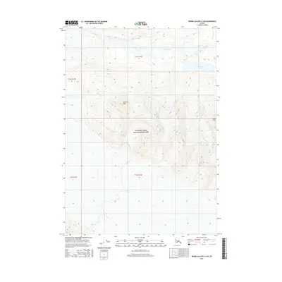
2016 · Bering Glacier C-5 NE
USGS Topo · 1:25,000
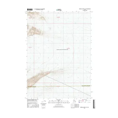
2016 · Bering Glacier C-5 SE
USGS Topo · 1:25,000