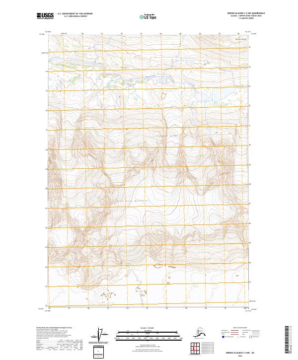
2024 Map of Bering Glacier C-4 NW
USGS Topo · Published 2024About this map
The Saint Elias Mountains dominate this high-altitude landscape within the Wrangell-St Elias Wilderness, where the terrain is defined by steep ridges and glacial drainage patterns. The northern portion of the map is marked by the Granite Range and the prominent Thompson Ridge, which separate various drainage basins. Flowing through the northern valleys, Granite Creek serves as a primary hydrological feature, carving through the mountainous terrain. This area represents a largely untouched alpine environment, characterized by extreme elevation changes and the absence of established roads or permanent settlements. The map provides a detailed view of the natural topography and the vast wilderness boundaries that protect this part of Alaska's interior, making it a critical reference for understanding the physical geography of the Copper River Census Area.
Find a feature on this map
10 named features on this map. Tap any name to fly to it.
Don’t see what you’re looking for? This feature index may not catch every label — zoom into the map to look around manually.
Map Details
Editions of this 2024 Bering Glacier C-4 NW Map
This is the sole edition of this map. No revisions or reprints were ever made.
Other maps of this area

1950 · Bering Glacier
USGS Topo · 1:250,000

1951 · Bering Glacier
USGS Topo · 1:250,000

1959 · Bering Glacier
USGS Topo · 1:250,000

1984 · Bering Glacier D-4
USGS Topo · 1:63,360

1984 · Bering Glacier D-5
USGS Topo · 1:63,360
1985 · Bering Glacier C-5
USGS Topo · 1:63,360
1985 · Bering Glacier C-4
USGS Topo · 1:63,360
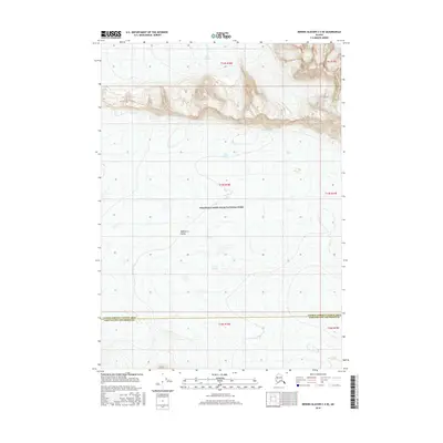
2016 · Bering Glacier C-4 SE
USGS Topo · 1:25,000
2016 · Bering Glacier C-5 NE
USGS Topo · 1:25,000
2016 · Bering Glacier C-5 SE
USGS Topo · 1:25,000