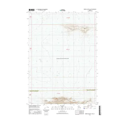
2016 Map of Bering Glacier C-4 SW
USGS Topo · Published 2016About this map
Tana Glacier and Bering Glacier dominate this glacial landscape within the southern reaches of Wrangell-Saint Elias National Park. The survey illustrates a transition of ice and rock, featuring distinctive landforms like Juniper Island and the specifically marked Natural Arch at the southern edge. This area marks a significant administrative boundary where the Valdez-Cordova Census Area and Yakutat City and Borough meet. The map documents the vast scale of these massive ice fields as they existed in the early 21st century, providing a baseline for geologists and environmental historians tracking glacial movements and terrain features in this part of Alaska.
Find a feature on this map
6 named features on this map. Tap any name to fly to it.
Don’t see what you’re looking for? This feature index may not catch every label — zoom into the map to look around manually.
Map Details
Editions of this 2016 Bering Glacier C-4 SW Map
This is the sole edition of this map. No revisions or reprints were ever made.
Other maps of this area
1950 · Bering Glacier
USGS Topo · 1:250,000
1951 · Bering Glacier
USGS Topo · 1:250,000
1959 · Bering Glacier
USGS Topo · 1:250,000
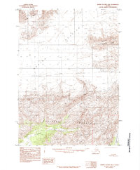
1985 · Bering Glacier B-5
USGS Topo · 1:63,360
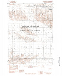
1985 · Bering Glacier C-5
USGS Topo · 1:63,360
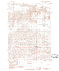
1985 · Bering Glacier B-4
USGS Topo · 1:63,360
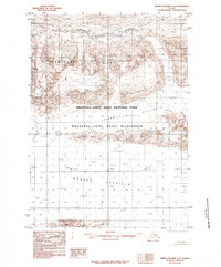
1985 · Bering Glacier C-4
USGS Topo · 1:63,360
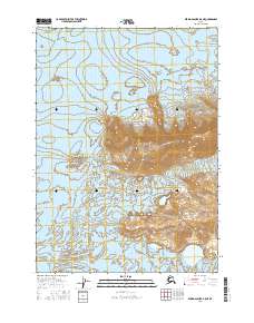
2016 · Bering Glacier B-5 NE
USGS Topo · 1:25,000
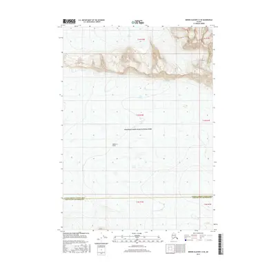
2016 · Bering Glacier C-4 SE
USGS Topo · 1:25,000
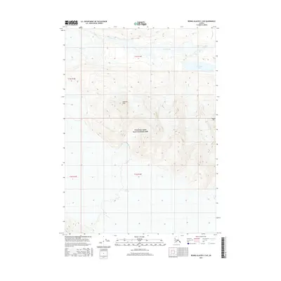
2016 · Bering Glacier C-5 NE
USGS Topo · 1:25,000