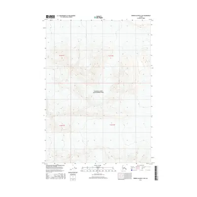
2016 Map of Bering Glacier C-6 NE
USGS Topo · Published 2016About this map
Wrangell-Saint Elias National Park encompasses the heart of this high-elevation Alaskan wilderness, a region defined by extreme vertical relief and massive glacial systems. This topographic survey captures a landscape of intense contour density, where dramatic peaks and deep valleys form the eastern reaches of the Bering Glacier region. The absence of roads or permanent settlements highlights the protected status and isolation of this terrain, which remains largely untouched by industrial development. Instead, the map provides a precision study of natural landforms, including the vast ice fields and high ridges that characterize this corner of the unorganized borough. Mapping from the t13s r13e and t13s r14e townships reveals the intricate drainage patterns and geological features that have historically challenged exploration and travel in the territory.
Find a feature on this map
5 named features on this map. Tap any name to fly to it.
Don’t see what you’re looking for? This feature index may not catch every label — zoom into the map to look around manually.
Map Details
Editions of this 2016 Bering Glacier C-6 NE Map
This is the sole edition of this map. No revisions or reprints were ever made.
Other maps of this area
1950 · Bering Glacier
USGS Topo · 1:250,000
1951 · Bering Glacier
USGS Topo · 1:250,000
1959 · Bering Glacier
USGS Topo · 1:250,000
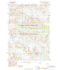
1984 · Bering Glacier D-6
USGS Topo · 1:63,360
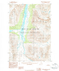
1984 · Bering Glacier D-5
USGS Topo · 1:63,360
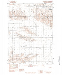
1985 · Bering Glacier C-5
USGS Topo · 1:63,360
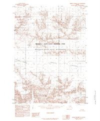
1985 · Bering Glacier C-6
USGS Topo · 1:63,360
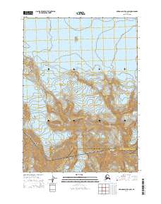
2014 · Bering Glacier C-6 SW
USGS Topo · 1:25,000
2014 · Bering Glacier D-6 SW
USGS Topo · 1:25,000
2014 · Bering Glacier C-6 NW
USGS Topo · 1:25,000