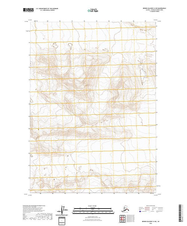
2024 Map of Bering Glacier C-6 NE
USGS Topo · Published 2024About this map
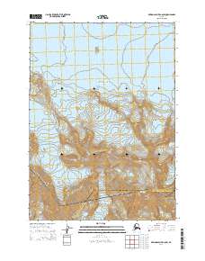
Wrangell-St. Elias Wilderness encompasses the entirety of this interior Alaskan landscape, which is defined by high-elevation glacial terrain and steep contour gradients. The map focuses on a remote sector of the Chugach Census Area, where the topography rises sharply to over 5,000 feet, showcasing the intricate drainage patterns and ridge lines that feed into the larger Bering Glacier system. This particular survey is characterized by its absence of human infrastructure, instead documenting the purely natural state of the wilderness within the Public Land Survey System grids of t13s r13e, t13s r14e, t14s r13e, and t14s r14e. The detailed elevation data provides a precise look at the glacial geomorphology of the region in the early twenty-first century.
Find a feature on this map
5 named features on this map. Tap any name to fly to it.
Don’t see what you’re looking for? This feature index may not catch every label — zoom into the map to look around manually.
Map Details
Editions of this 2024 Bering Glacier C-6 NE Map
This is the sole edition of this map. No revisions or reprints were ever made.
Other maps of this area

1950 · Bering Glacier
USGS Topo · 1:250,000

1951 · Bering Glacier
USGS Topo · 1:250,000

1959 · Bering Glacier
USGS Topo · 1:250,000
1984 · Bering Glacier D-6
USGS Topo · 1:63,360

1984 · Bering Glacier D-5
USGS Topo · 1:63,360
1985 · Bering Glacier C-5
USGS Topo · 1:63,360
1985 · Bering Glacier C-6
USGS Topo · 1:63,360
2014 · Bering Glacier C-6 SW
USGS Topo · 1:25,000
2014 · Bering Glacier D-6 SW
USGS Topo · 1:25,000
2014 · Bering Glacier C-6 NW
USGS Topo · 1:25,000