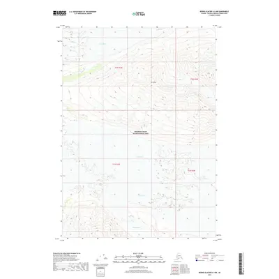
2017 Map of Bering Glacier D-1 NW
USGS Topo · Published 2017About this map
Wrangell-Saint Elias National Park preserves a glaciated wilderness dominated by immense ice flows and high-altitude peaks. The northern reach of this quadrangle is defined by Mt Chitina and the descending Chitina Glacier, while the southern expanse is shaped by the massive Walsh Glacier, Logan Glacier, and Baldwin Glacier. This 2017 survey illustrates the complex topography of the Saint Elias Mountains, showing the convergence of these glacial systems as they carve through the terrain. The map is a precise record of the physical geography within one of the largest protected wilderness areas in the United States, documenting the ice extent and elevation contours of a landscape rarely reached by roads or permanent settlements.
Find a feature on this map
10 named features on this map. Tap any name to fly to it.
Don’t see what you’re looking for? This feature index may not catch every label — zoom into the map to look around manually.
Map Details
Editions of this 2017 Bering Glacier D-1 NW Map
This is the sole edition of this map. No revisions or reprints were ever made.
Other maps of this area
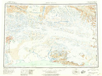
1950 · Bering Glacier
USGS Topo · 1:250,000
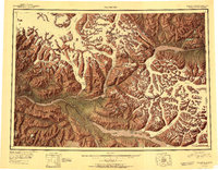
1951 · McCarthy
USGS Topo · 1:250,000
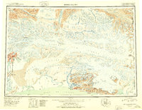
1951 · Bering Glacier
USGS Topo · 1:250,000
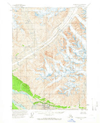
1959 · McCarthy A-2
USGS Topo · 1:63,360
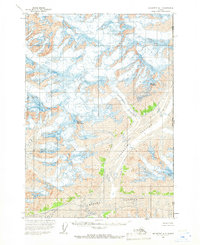
1959 · McCarthy A-1
USGS Topo · 1:63,360
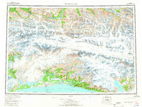
1959 · Bering Glacier
USGS Topo · 1:250,000
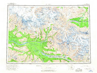
1960 · McCarthy
USGS Topo · 1:250,000
1984 · Bering Glacier D-2
USGS Topo · 1:63,360
1984 · Bering Glacier D-1
USGS Topo · 1:63,360
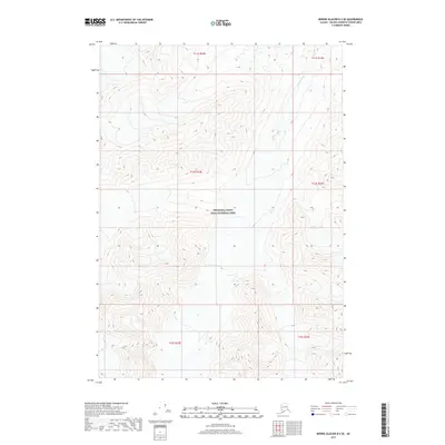
2017 · Bering Glacier D-2 SE
USGS Topo · 1:25,000