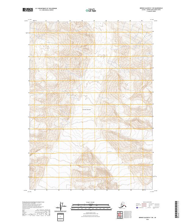
2024 Map of Bering Glacier D-1 SW
USGS Topo · Published 2024About this map
Saint Elias Mountains define this high-altitude landscape within the Wrangell-St Elias Wilderness, a region dominated by glacial activity and extreme topography. The presence of the Logan Glacier flowing through the southern portion of the quadrangle illustrates the persistent ice-covered nature of the Copper River Census Area. This contemporary topographic record uses SPOT imagery from 2017 to 2019 to delineate the shifting boundaries of the ice and the sharp contour lines of the surrounding peaks. The map provides a critical reference for the Public Land Survey System across townships like t12s r23e and t13s r24e, marking a territory where human infrastructure is entirely absent in favor of protected wilderness and massive geological features.
Find a feature on this map
9 named features on this map. Tap any name to fly to it.
Don’t see what you’re looking for? This feature index may not catch every label — zoom into the map to look around manually.
Map Details
Editions of this 2024 Bering Glacier D-1 SW Map
This is the sole edition of this map. No revisions or reprints were ever made.
Other maps of this area

1950 · Bering Glacier
USGS Topo · 1:250,000

1951 · Bering Glacier
USGS Topo · 1:250,000

1959 · Bering Glacier
USGS Topo · 1:250,000
1984 · Bering Glacier D-2
USGS Topo · 1:63,360
1984 · Bering Glacier D-1
USGS Topo · 1:63,360
1985 · Bering Glacier C-2
USGS Topo · 1:63,360
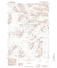
1985 · Bering Glacier C-1
USGS Topo · 1:63,360
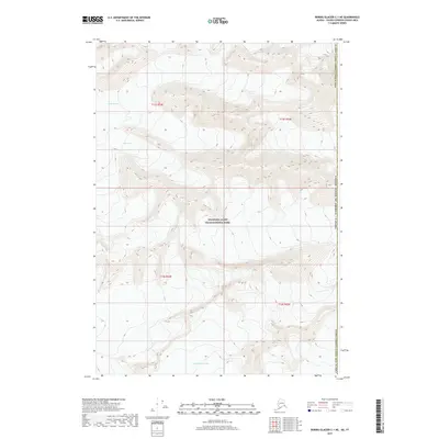
2017 · Bering Glacier C-1 NE
USGS Topo · 1:25,000
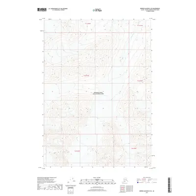
2017 · Bering Glacier D-2 SE
USGS Topo · 1:25,000
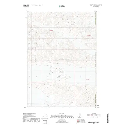
2017 · Bering Glacier D-1 NE
USGS Topo · 1:25,000