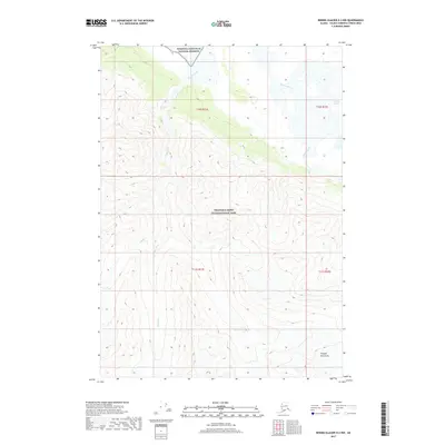
2017 Map of Bering Glacier D-2 NW
USGS Topo · Published 2017About this map
Wrangell-Saint Elias National Park and the adjacent Wrangell-Saint Elias National Preserve meet in this high-altitude landscape defined by glaciation and massive elevation changes. The northern portion of the map is dominated by the wide corridor of the Chitina River, where the eastern edge reveals the terminus of the Chitina Glacier. To the south, the terrain climbs steeply into the Chugach Mountains, a region characterized by deep glacial valleys and perennial snowfields. Significant drainages like Marble Creek cut through the steep southern slopes, feeding north toward the Chitina. This 2017 survey reflects the immense, undeveloped character of the Alaskan interior, showing a landscape shaped by ice and water with no established roads or settlements within the boundary.
Find a feature on this map
11 named features on this map. Tap any name to fly to it.
Don’t see what you’re looking for? This feature index may not catch every label — zoom into the map to look around manually.
Map Details
Editions of this 2017 Bering Glacier D-2 NW Map
This is the sole edition of this map. No revisions or reprints were ever made.
Other maps of this area

1950 · Bering Glacier
USGS Topo · 1:250,000

1951 · McCarthy
USGS Topo · 1:250,000

1951 · Bering Glacier
USGS Topo · 1:250,000

1959 · McCarthy A-2
USGS Topo · 1:63,360

1959 · McCarthy A-3
USGS Topo · 1:63,360

1959 · Bering Glacier
USGS Topo · 1:250,000

1960 · McCarthy
USGS Topo · 1:250,000
1984 · Bering Glacier D-2
USGS Topo · 1:63,360
1984 · Bering Glacier D-3
USGS Topo · 1:63,360
2017 · Bering Glacier D-2 SW
USGS Topo · 1:25,000