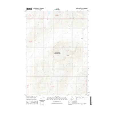
2016 Map of Bering Glacier D-4 SW
USGS Topo · Published 2016About this map
Wrangell-Saint Elias National Park encompasses this high-altitude landscape where the Chugach Mountains and Granite Range converge. This 2016 survey illustrates a topography dominated by glacial drainages and extreme vertical relief, typical of the Alaskan interior's wilderness. The Kiagna River flows along the eastern edge of the quadrangle, fed by numerous unnamed tributaries and seasonal meltwater. Higher elevations in the central and northern sections are home to Slender Lake and the headwaters of Martin Cr. The absence of roads or permanent settlements highlights the protected status of the land, focusing instead on the hydrography of Twelvemile Cr and the complex contouring of the surrounding peaks.
Find a feature on this map
13 named features on this map. Tap any name to fly to it.
Don’t see what you’re looking for? This feature index may not catch every label — zoom into the map to look around manually.
Map Details
Editions of this 2016 Bering Glacier D-4 SW Map
This is the sole edition of this map. No revisions or reprints were ever made.
Other maps of this area

1950 · Bering Glacier
USGS Topo · 1:250,000

1951 · Bering Glacier
USGS Topo · 1:250,000

1959 · Bering Glacier
USGS Topo · 1:250,000

1984 · Bering Glacier D-4
USGS Topo · 1:63,360

1984 · Bering Glacier D-5
USGS Topo · 1:63,360
1985 · Bering Glacier C-5
USGS Topo · 1:63,360
1985 · Bering Glacier C-4
USGS Topo · 1:63,360
2016 · Bering Glacier C-5 NE
USGS Topo · 1:25,000
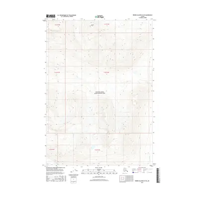
2016 · Bering Glacier D-5 SE
USGS Topo · 1:25,000
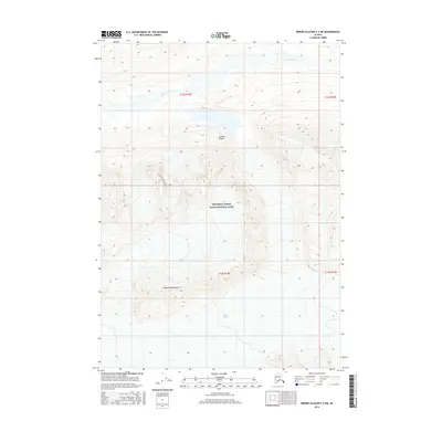
2016 · Bering Glacier C-4 NE
USGS Topo · 1:25,000