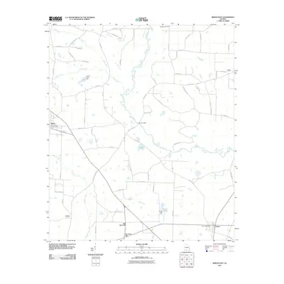
2011 Map of Berlin East
USGS Topo · Published 2011About this map
The agrarian landscapes of southern Georgia converge at Berlin and Barney, two rural hubs connected by a network of county roads and watercourses. This early 21st-century map details a transition point between settlements, notably identifying both Old Rock Hill and New Rock Hill. The terrain is defined by the winding path of the Little River and its tributaries, including Okapilco Creek, Bear Creek, and Slaughter Creek. Evidence of longstanding community centers is found at Antioch Cemetery and Strickland Cemetery, while civic life is anchored by the Berlin Post Office and Barney Post Office. The local geography is further marked by managed water resources such as Alderman Pond and the Burton Lake Dam, reflecting the region's reliance on the land and its drainage systems. Many thoroughfares, including Hempstead Church Rd and China Grove Church Rd, provide clues to historical congregation points and family landmarks across the countryside.
Find a feature on this map
69 named features on this map. Tap any name to fly to it.
Don’t see what you’re looking for? This feature index may not catch every label — zoom into the map to look around manually.
Map Details
Editions of this 2011 Berlin East Map
This is the sole edition of this map. No revisions or reprints were ever made.
Other maps of this area

1953 · Waycross
USGS Topo · 1:250,000

1954 · Valdosta
USGS Topo · 1:250,000

1958 · Valdosta
USGS Topo · 1:250,000

1958 · Waycross
USGS Topo · 1:250,000

1959 · Valdosta
USGS Topo · 1:250,000

1961 · Quitman
USGS Topo · 1:62,500

1961 · Hahira West
USGS Topo · 1:24,000

1973 · Adel
USGS Topo · 1:24,000

1973 · Cecil
USGS Topo · 1:24,000

1974 · Berlin East
USGS Topo · 1:24,000