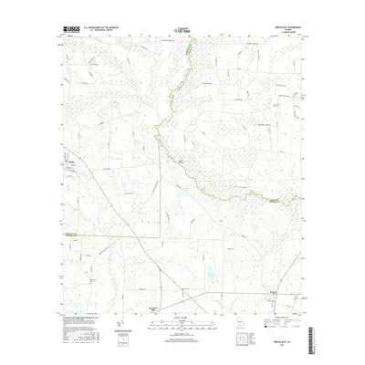
2017 Map of Berlin East
USGS Topo · Published 2017About this map
The Little River and Okapilco Cr shape this landscape in the coastal plain of South Georgia, where three counties—Colquitt, Cook, and Brooks—converge. The settlement of Berlin anchors the western edge, while Barney and New Rock Hill serve as points of interest for those tracing the development of these rural communities. The map highlights a network of local roads named for established families, such as Rufus Merritt Rd and Paul Moore Rd, reflecting the area's agricultural and social history.
Find a feature on this map
83 named features on this map. Tap any name to fly to it.
Don’t see what you’re looking for? This feature index may not catch every label — zoom into the map to look around manually.
Map Details
Editions of this 2017 Berlin East Map
This is the sole edition of this map. No revisions or reprints were ever made.
Other maps of this area

1953 · Waycross
USGS Topo · 1:250,000

1954 · Valdosta
USGS Topo · 1:250,000

1958 · Valdosta
USGS Topo · 1:250,000

1958 · Waycross
USGS Topo · 1:250,000

1959 · Valdosta
USGS Topo · 1:250,000

1961 · Quitman
USGS Topo · 1:62,500

1961 · Hahira West
USGS Topo · 1:24,000

1973 · Adel
USGS Topo · 1:24,000

1973 · Cecil
USGS Topo · 1:24,000

1974 · Berlin East
USGS Topo · 1:24,000