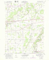
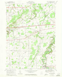
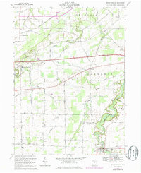
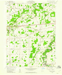
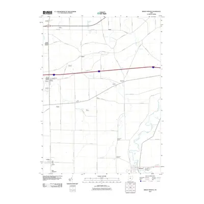
1969 Map of Berlin Heights
USGS Topo · Published 1979About this map
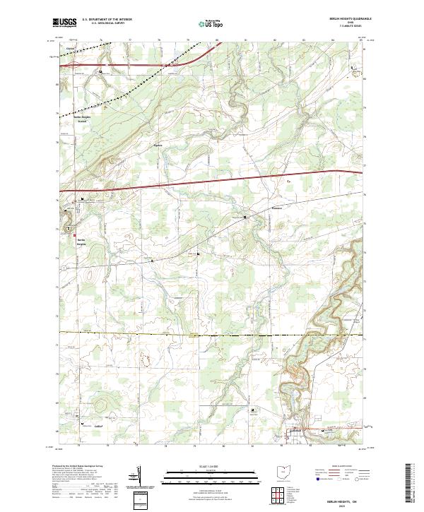
The Vermilion River snakes through the eastern portion of this landscape, marking a sharp contrast to the geometric farmland of the Connecticut Western Reserve. In the late 1960s, this region of Erie and Huron counties maintained its agricultural character even as the Ohio Turnpike and Toll Road introduced modern transit corridors across the center of the sheet. The map documents the intricate drainage network of Cranberry Creek, Old Woman Creek, and Chappel Creek, which influenced the placement of early settlements and family cemeteries like Peakes Cem and Cable Cem.
Find a feature on this map
46 named features on this map. Tap any name to fly to it.
Don’t see what you’re looking for? This feature index may not catch every label — zoom into the map to look around manually.
Map Details
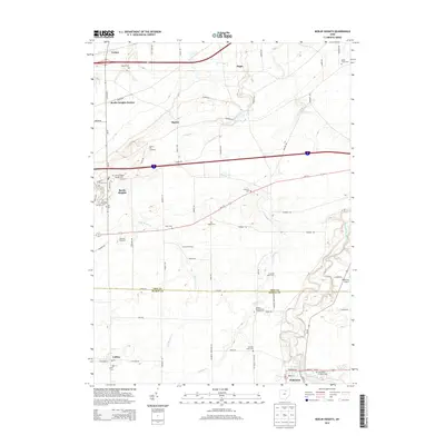
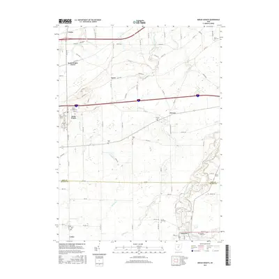
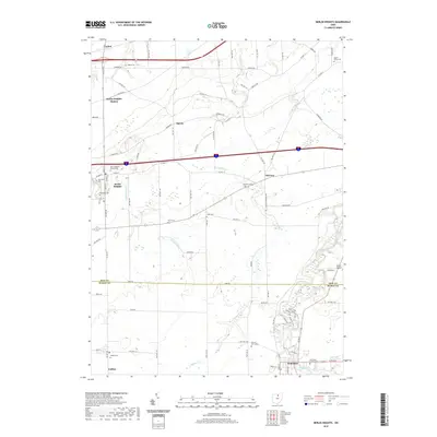
Editions of this 1969 Berlin Heights Map
3 editions found
Historical Maps of Florence Through Time
7 maps found
Featured Locations
- Berlin Township, OH
- Wakeman, Wakeman Township
- Berlin Heights, Berlin Township
- Ceylon, Berlin Township
- Florence, Florence Township