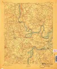
1894 Map of Bermuda Hundred
USGS Topo · Published 1910About this map
Bermuda Hundred and the winding James River corridor dominate this late 19th-century survey of the Virginia interior south of Richmond. The landscape is defined by the sharp bends of the river, including the dramatic turn at Jones Neck and the man-made shortcut of the Dutch Gap Canal at Farrar Island. Industrial and logistical hubs like City Point and the Swift Creek Factory illustrate the region's economic activity, while the presence of the National Cemetery and various fortifications like Drewry Bluff and Chaffin Bluff reflect the area's significance in recent memory. A complex network of transit, including the Richmond and Petersburg Railroad and the Richmond and Petersburg Turnpike, connects settlements such as Chester and Centralia. For local historians, the specific placement of landmarks like Howlett House, the Ochre Mine, and the Halfway House offers a clear view of the rural and industrial geography before the expansion of the modern suburban footprint.
Find a feature on this map
68 named features on this map. Tap any name to fly to it.
Don’t see what you’re looking for? This feature index may not catch every label — zoom into the map to look around manually.
Map Details
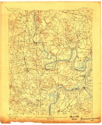
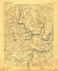
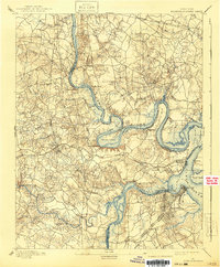
Editions of this 1894 Bermuda Hundred Map
5 editions found
Other maps of this area

1890 · Goochland
USGS Topo · 1:125,000

1892 · Goochland
USGS Topo · 1:125,000

1894 · Bermuda Hundred
USGS Topo · 1:62,500

1894 · Petersburg
USGS Topo · 1:62,500

1894 · Richmond
USGS Topo · 1:62,500

1895 · Richmond
USGS Topo · 1:62,500

1897 · Amelia
USGS Topo · 1:125,000

1918 · Charles City
USGS Topo · 1:62,500

1919 · Disputanta
USGS Topo · 1:62,500

1920 · King William
USGS Topo · 1:62,500