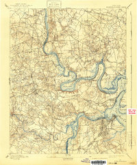
1894 Map of Bermuda Hundred
USGS Topo · Published 1940About this map
The James River and Appomattox River define this 1890s landscape, winding through a region heavily shaped by strategic military positions and early Virginia industry. The settlement of Hopewell and the nearby City Point sit at the confluence of the two rivers, showing a dense grid of streets that contrasts with the surrounding agricultural land. Upstream, the dramatic bends of Farrar Island and Jones Neck illustrate the complex navigation of the James, which was altered by the Dutch Gap Canal to bypass a long loop of the river.
Find a feature on this map
59 named features on this map. Tap any name to fly to it.
Don’t see what you’re looking for? This feature index may not catch every label — zoom into the map to look around manually.
Map Details
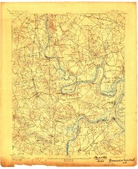
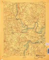
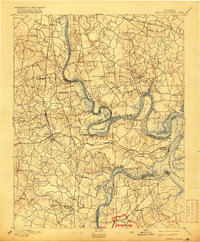
Editions of this 1894 Bermuda Hundred Map
5 editions found
Other maps of this area

1890 · Goochland
USGS Topo · 1:125,000

1892 · Goochland
USGS Topo · 1:125,000

1894 · Bermuda Hundred
USGS Topo · 1:62,500

1894 · Petersburg
USGS Topo · 1:62,500

1894 · Richmond
USGS Topo · 1:62,500

1895 · Richmond
USGS Topo · 1:62,500

1897 · Amelia
USGS Topo · 1:125,000

1918 · Charles City
USGS Topo · 1:62,500

1919 · Disputanta
USGS Topo · 1:62,500

1920 · King William
USGS Topo · 1:62,500