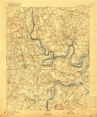
1894 Map of Bermuda Hundred
USGS Topo · Published 1917About this map
The James River and Appomattox River define this 1892 survey of the Peninsula region, capturing the landscape in the years before World War I. The map focuses on the strategic river bends and historic settlements that saw significant action during the Civil War, such as Drewry Bluff and Bermuda Hundred. The presence of the National Cemetery and various fortified bluffs like Chaffin Bluff and Point of Rocks reflects the area's military heritage.
Find a feature on this map
62 named features on this map. Tap any name to fly to it.
Don’t see what you’re looking for? This feature index may not catch every label — zoom into the map to look around manually.
Map Details
Editions of this 1894 Bermuda Hundred Map
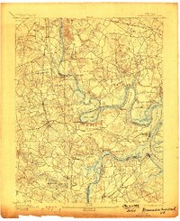
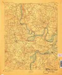
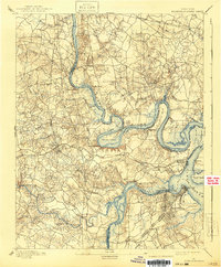
5 editions found
Other maps of this area

1890 · Goochland
USGS Topo · 1:125,000

1892 · Goochland
USGS Topo · 1:125,000

1894 · Bermuda Hundred
USGS Topo · 1:62,500

1894 · Petersburg
USGS Topo · 1:62,500

1894 · Richmond
USGS Topo · 1:62,500

1895 · Richmond
USGS Topo · 1:62,500

1897 · Amelia
USGS Topo · 1:125,000

1918 · Charles City
USGS Topo · 1:62,500

1919 · Disputanta
USGS Topo · 1:62,500

1920 · King William
USGS Topo · 1:62,500