
1894 Map of Bermuda Hundred
USGS Topo · Published 1894About this map
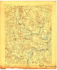
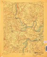
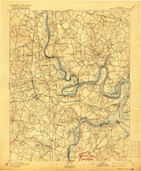
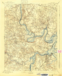
Bermuda Hundred and the sharp, serpentine bends of the James River define this 1892 survey of the Virginia tidewater. The landscape is dominated by the strategic heights of Drewry Bluff and Chaffin Bluff, which oversaw river traffic during the recent conflict. The engineering of the Dutch Gap Canal at Farrar Island is clearly visible, showing how the river's path was modified for navigation. Further downstream, the confluence with the Appomattox River at City Point marks a vital logistical hub for the region.
Find a feature on this map
63 named features on this map. Tap any name to fly to it.
Don’t see what you’re looking for? This feature index may not catch every label — zoom into the map to look around manually.
Map Details
Editions of this 1894 Bermuda Hundred Map
5 editions found
Other maps of this area

1890 · Goochland
USGS Topo · 1:125,000

1892 · Goochland
USGS Topo · 1:125,000

1894 · Petersburg
USGS Topo · 1:62,500

1894 · Richmond
USGS Topo · 1:62,500

1895 · Richmond
USGS Topo · 1:62,500

1897 · Amelia
USGS Topo · 1:125,000

1918 · Charles City
USGS Topo · 1:62,500

1919 · Disputanta
USGS Topo · 1:62,500

1920 · King William
USGS Topo · 1:62,500

1934 · Seven Pines
USGS Topo · 1:24,000